La Ravoire night lights from space
Night Light of La Ravoire (Auvergne-Rhône-Alpes) from space (France) Src. Average luminocity for 10x10km area is 44.9106% and for 50x50km: 7.4441%.
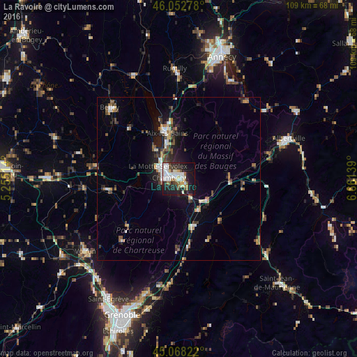
Analysis of La Ravoire night lights 2016
Square area 10x10 km:
 12.12%
90-99
11.21%80-89
4.24%70-79
2.73%60-69
3.48%50-59
4.85%40-49
3.79%30-39
3.79%20-29
14.55%10-19
30.45%0-9
8.79%Square area 50x50 km:
0.92%90-99
1.27%80-89
0.6%70-79
0.66%60-69
0.86%50-59
1.24%40-49
1.09%30-39
1.06%20-29
2.21%10-19
4.76%0-9
85.33%Clear (daylight) street map image can be seen on geolist.org.
Map coordinates:
46° 3' 10" North, 5° 15' 18.5" East
45° 33' 45.6" North, 5° 57' 29.7" East
45° 4' 5.6" North, 6° 39' 41" East
Some cities around La Ravoire sort by population:
• Chambéry
2.9 km =1.8 mi,  277°
277°
• Aix-les-Bains
14.9 km =9.3 mi,  344°
344°
• La Motte-Servolex
8 km =5 mi,  298°
298°
• Belley
30.3 km =18.8 mi,  316°
316°
• Pontcharra
14.8 km =9.2 mi,  161°
161°
• Cognin
5.2 km =3.2 mi,  266°
266°
• Saint-Alban-Leysse
2.4 km =1.5 mi, 344°
• Barberaz
1.2 km =0.7 mi, 265°
3007064 (p: 6,768)
Sources (retrieved 2019-11-25):
» Earth at Night: Flat Maps 2012, 2016