Saint-Chamond night lights from space
Night Light of Saint-Chamond (Auvergne-Rhône-Alpes) from space (France) Src. Average luminocity for 10x10km area is 37.0476% and for 50x50km: 19.4796%.
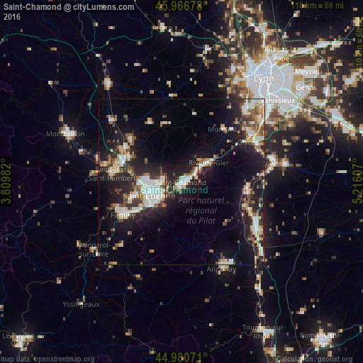
Analysis of Saint-Chamond night lights 2016
Square area 10x10 km:
 6.67%
6.67%90-99
6.51%80-89
3.65%70-79
2.22%60-69
5.08%50-59
3.02%40-49
5.87%30-39
5.24%20-29
15.4%10-19
41.11%0-9
5.24%Square area 50x50 km:
2.93%90-99
3.92%80-89
1.8%70-79
1.9%60-69
2.31%50-59
2.41%40-49
2.76%30-39
2.51%20-29
6.61%10-19
14.5%0-9
58.36%Clear (daylight) street map image can be seen on geolist.org.
Map coordinates:
45° 58' 0.4" North, 3° 48' 35.4" East
45° 28' 33.2" North, 4° 30' 46.6" East
44° 58' 50.6" North, 5° 12' 57.9" East
Some cities around Saint-Chamond sort by population:
• Rive-de-Gier
9.9 km =6.2 mi,  54°
54°
• Le Chambon-Feugerolles
17.6 km =10.9 mi,  237°
237°
• Roche-la-Molière
15.3 km =9.5 mi,  250°
250°
• Villars
12.3 km =7.6 mi,  265°
265°
• La Ricamarie
13.7 km =8.5 mi,  234°
234°
• Sorbiers
5.8 km =3.6 mi,  286°
286°
• La Talaudière
6.8 km =4.2 mi, 270°
• La Grand-Croix
4.8 km =3 mi, 49°
2981206 (p: 38,014)
Sources (retrieved 2019-11-25):
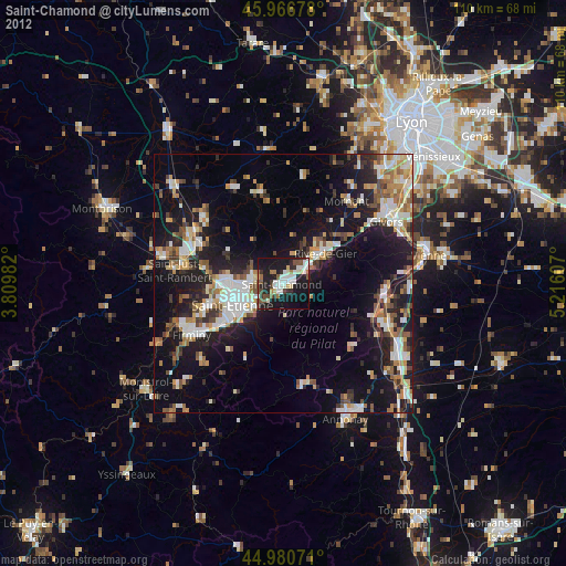
» Earth at Night: Flat Maps 2012, 2016