Roissy-en-Brie night lights from space
Night Light of Roissy-en-Brie (Île-de-France) from space (France) Src. Average luminocity for 10x10km area is 65.2756% and for 50x50km: 54.5823%.
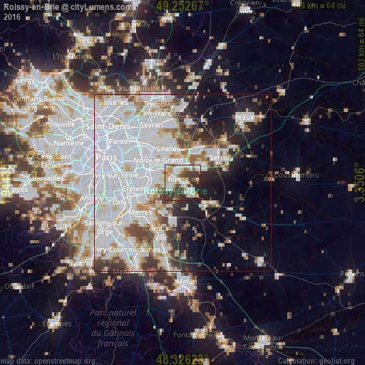
Analysis of Roissy-en-Brie night lights 2016
Square area 10x10 km:
 16.05%
90-99
16.62%80-89
8.52%70-79
5.68%60-69
9.94%50-59
3.69%40-49
8.52%30-39
20.31%20-29
9.52%10-19
1.14%0-9
0%Square area 50x50 km:
25.9%90-99
12.92%80-89
3.18%70-79
3.38%60-69
3.66%50-59
3.18%40-49
3.92%30-39
4.7%20-29
5.45%10-19
8.49%0-9
25.21%Clear (daylight) street map image can be seen on geolist.org.
Map coordinates:
49° 15' 9.6" North, 1° 56' 39.7" East
48° 47' 29.7" North, 2° 38' 50.9" East
48° 19' 34.4" North, 3° 21' 2.2" East
Some cities around Roissy-en-Brie sort by population:
• Pontault-Combault
3.1 km =1.9 mi,  283°
283°
• Torcy
6.6 km =4.1 mi,  2°
2°
• Ozoir-la-Ferrière
3.1 km =1.9 mi,  150°
150°
• Le Plessis-Trévise
5.8 km =3.6 mi,  291°
291°
• Lognes
5 km =3.1 mi,  345°
345°
• La Queue-en-Brie
4.9 km =3 mi,  261°
261°
• Lésigny
5.8 km =3.6 mi,  203°
203°
• Émerainville
3 km =1.9 mi,  320°
320°
2983074 (p: 20,933)
Sources (retrieved 2019-11-25):
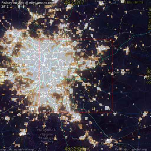
» Earth at Night: Flat Maps 2012, 2016