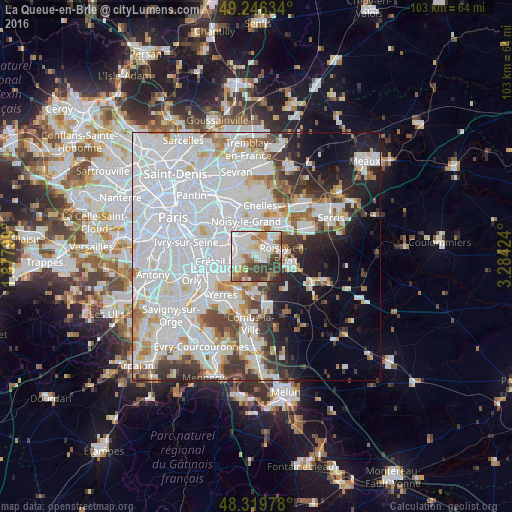
La Queue-en-Brie night lights from space
Night Light of La Queue-en-Brie (Île-de-France) from space (France) Src. Average luminocity for 10x10km area is 75.6832% and for 50x50km: 62.496%.
Analysis of La Queue-en-Brie night lights 2016
Square area 10x10 km:
 28.41%
90-99
18.18%80-89
6.68%70-79
7.95%60-69
8.38%50-59
5.97%40-49
10.8%30-39
12.07%20-29
1.56%10-19
0%0-9
0%Square area 50x50 km:
31%90-99
15.06%80-89
3.68%70-79
3.86%60-69
4.01%50-59
3.17%40-49
3.89%30-39
4.69%20-29
5.61%10-19
7.89%0-9
17.14%Clear (daylight) street map image can be seen on geolist.org.
Map coordinates:
49° 14' 46.8" North, 1° 52' 40.8" East
48° 47' 6.7" North, 2° 34' 52" East
48° 19' 11.2" North, 3° 17' 3.3" East
Some cities around La Queue-en-Brie sort by population:
• Pontault-Combault
2.4 km =1.5 mi,  52°
52°
• Sucy-en-Brie
3.9 km =2.4 mi,  241°
241°
• Roissy-en-Brie
4.9 km =3 mi,  81°
81°
• Le Plessis-Trévise
2.9 km =1.8 mi,  349°
349°
• Chennevières-sur-Marne
3.3 km =2.1 mi,  293°
293°
• Ormesson-sur-Marne
2.7 km =1.7 mi,  272°
272°
• Lésigny
5.2 km =3.2 mi,  151°
151°
• Émerainville
4.3 km =2.7 mi,  43°
43°
3007102 (p: 11,826)
Sources (retrieved 2019-11-25):
» Earth at Night: Flat Maps 2012, 2016