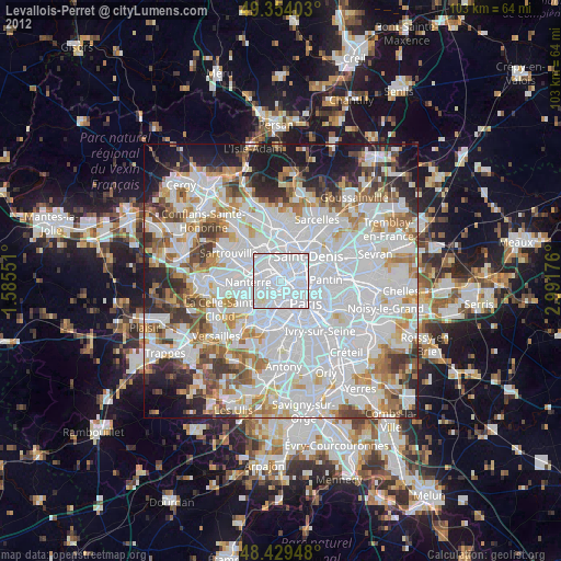
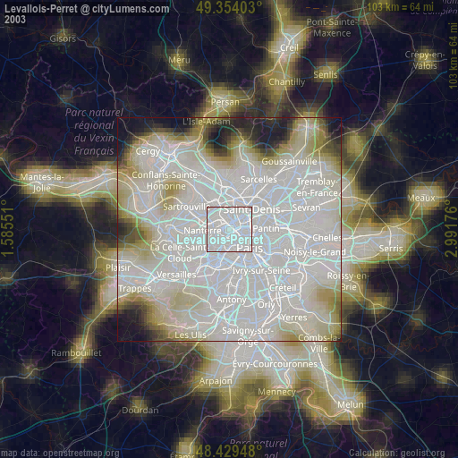
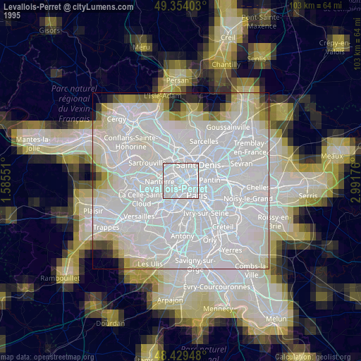
Levallois-Perret night lights from space
Night Light of Levallois-Perret (Île-de-France) from space (France) Src. Average luminocity for 10x10km area is 99.6932% and for 50x50km: 74.6678%.

Analysis of Levallois-Perret night lights 2016
Square area 10x10 km:
 90.91%
90-99
7.81%80-89
1.28%70-79
0%60-69
0%50-59
0%40-49
0%30-39
0%20-29
0%10-19
0%0-9
0%Square area 50x50 km:
35.04%90-99
18.47%80-89
5.54%70-79
4.92%60-69
5.91%50-59
4.85%40-49
5.81%30-39
5.15%20-29
6.3%10-19
6.05%0-9
1.97%Clear (daylight) street map image can be seen on geolist.org.
Map coordinates:
49° 21' 14.5" North, 1° 35' 7.8" East
48° 53' 38" North, 2° 17' 19.1" East
48° 25' 46.1" North, 2° 59' 30.3" East
Some cities around Levallois-Perret sort by population:
• Asnières-sur-Seine
2.6 km =1.6 mi,  351°
351°
• Courbevoie
2.4 km =1.5 mi,  277°
277°
• Neuilly-sur-Seine
1.7 km =1.1 mi,  233°
233°
• Clichy
1.7 km =1.1 mi,  65°
65°
• Saint-Ouen
3.6 km =2.2 mi, 66°
• La Garenne-Colombes
3.3 km =2.1 mi,  291°
291°
• Bois-Colombes
3 km =1.9 mi,  340°
340°
• La Defense
3.6 km =2.2 mi,  266°
266°
2998975 (p: 62,178)
Sources (retrieved 2019-11-25):
» NASA, Earths city lights 1995
» NASA city lights 2003
» Earth at Night: Flat Maps 2012, 2016