Courbevoie night lights from space
Night Light of Courbevoie (Île-de-France) from space (France) Src. Average luminocity for 10x10km area is 99.6165% and for 50x50km: 73.202%.
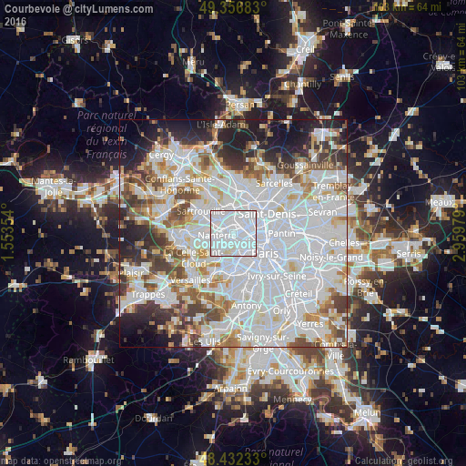
Analysis of Courbevoie night lights 2016
Square area 10x10 km:
 86.36%
90-99
12.36%80-89
1.28%70-79
0%60-69
0%50-59
0%40-49
0%30-39
0%20-29
0%10-19
0%0-9
0%Square area 50x50 km:
34.43%90-99
17.8%80-89
5.46%70-79
4.81%60-69
5.68%50-59
4.77%40-49
5.72%30-39
5.15%20-29
6.51%10-19
6.84%0-9
2.85%Clear (daylight) street map image can be seen on geolist.org.
Map coordinates:
49° 21' 24.6" North, 1° 33' 12.7" East
48° 53' 48.2" North, 2° 15' 24" East
48° 25' 56.4" North, 2° 57' 35.2" East
Some cities around Courbevoie sort by population:
• Asnières-sur-Seine
3 km =1.9 mi,  41°
41°
• Colombes
2.5 km =1.6 mi,  355°
355°
• Levallois-Perret
2.4 km =1.5 mi,  97°
97°
• Neuilly-sur-Seine
1.6 km =1 mi,  144°
144°
• Puteaux
2 km =1.2 mi,  221°
221°
• La Garenne-Colombes
1.1 km =0.7 mi,  321°
321°
• Bois-Colombes
2.8 km =1.7 mi,  27°
27°
• La Defense
1.4 km =0.9 mi,  248°
248°
3023141 (p: 85,158)
Sources (retrieved 2019-11-25):
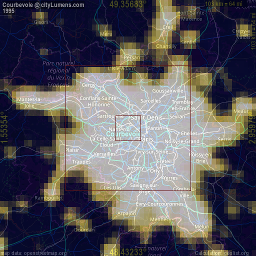
» NASA, Earths city lights 1995
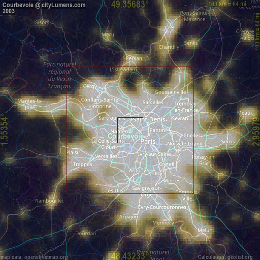
» NASA city lights 2003
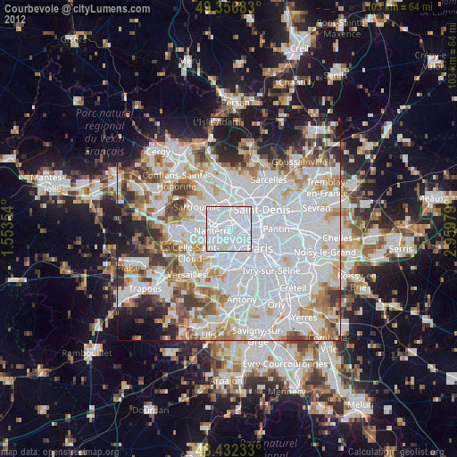
» Earth at Night: Flat Maps 2012, 2016