Poitiers night lights from space
Night Light of Poitiers (Nouvelle-Aquitaine) from space (France) Src. Average luminocity for 10x10km area is 54.1193% and for 50x50km: 5.0189%.
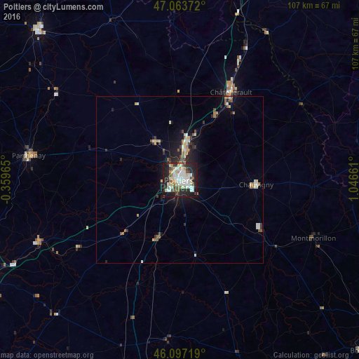
Analysis of Poitiers night lights 2016
Square area 10x10 km:
 13.78%
90-99
14.63%80-89
6.25%70-79
4.4%60-69
5.11%50-59
3.98%40-49
6.68%30-39
3.69%20-29
20.6%10-19
20.45%0-9
0.43%Square area 50x50 km:
0.73%90-99
1.01%80-89
0.6%70-79
0.39%60-69
0.53%50-59
0.65%40-49
0.56%30-39
0.48%20-29
1.59%10-19
3.57%0-9
89.88%Clear (daylight) street map image can be seen on geolist.org.
Map coordinates:
47° 3' 49.4" North, 0° 21' 34.7" West
46° 34' 57.4" North, 0° 20' 36.5" East
46° 5' 49.9" North, 1° 2' 47.8" East
Some cities around Poitiers sort by population:
• Châtellerault
30.3 km =18.8 mi,  30°
30°
• Buxerolles
11.3 km =7 mi,  70°
70°
• Montmorillon
43.9 km =27.3 mi,  113°
113°
• Saint-Benoît
3.6 km =2.2 mi,  182°
182°
• Chauvigny
23 km =14.3 mi,  93°
93°
• Migné
5.5 km =3.4 mi,  336°
336°
• Jaunay-Clan
11.6 km =7.2 mi,  10°
10°
• Naintré
22.7 km =14.1 mi, 27°
2986495 (p: 85,960)
Sources (retrieved 2019-11-25):
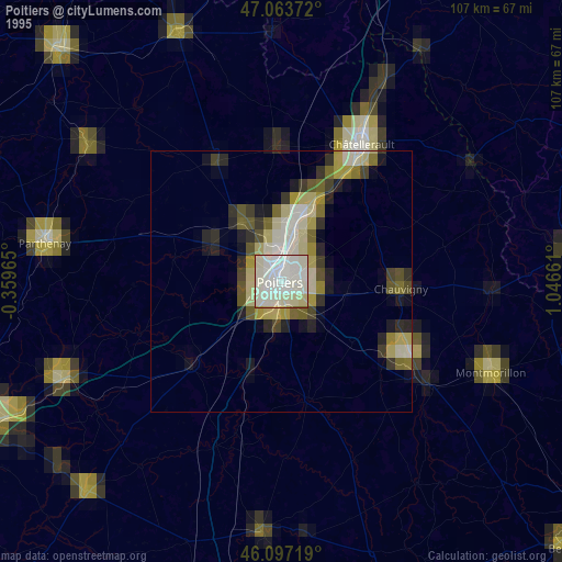
» NASA, Earths city lights 1995
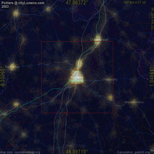
» NASA city lights 2003
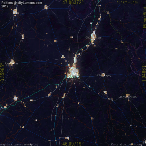
» Earth at Night: Flat Maps 2012, 2016