Châtellerault night lights from space
Night Light of Châtellerault (Nouvelle-Aquitaine) from space (France) Src. Average luminocity for 10x10km area is 18.5119% and for 50x50km: 3.4494%.
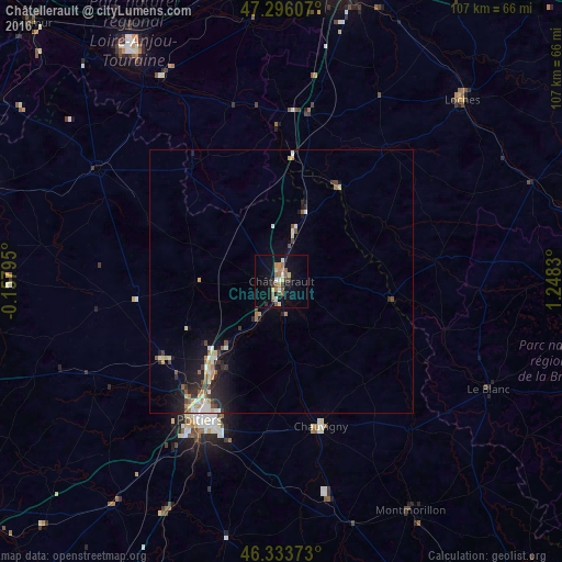
Analysis of Châtellerault night lights 2016
Square area 10x10 km:
 1.49%
1.49%90-99
2.08%80-89
2.98%70-79
1.64%60-69
3.27%50-59
5.21%40-49
1.19%30-39
1.93%20-29
1.93%10-19
14.88%0-9
63.39%Square area 50x50 km:
0.34%90-99
0.49%80-89
0.44%70-79
0.4%60-69
0.39%50-59
0.56%40-49
0.47%30-39
0.37%20-29
1.04%10-19
2.69%0-9
92.83%Clear (daylight) street map image can be seen on geolist.org.
Map coordinates:
47° 17' 45.9" North, 0° 9' 28.6" West
46° 49' 1.4" North, 0° 32' 42.6" East
46° 20' 1.4" North, 1° 14' 53.9" East
Some cities around Châtellerault sort by population:
• Poitiers
30.3 km =18.8 mi,  210°
210°
• Buxerolles
22.8 km =14.2 mi,  191°
191°
• Loudun
41 km =25.5 mi,  301°
301°
• Saint-Benoît
33.5 km =20.8 mi, 207°
• Chauvigny
28.5 km =17.7 mi,  164°
164°
• Migné
27.4 km =17 mi,  219°
219°
• Jaunay-Clan
19.7 km =12.2 mi, 221°
• Naintré
7.7 km =4.8 mi, 218°
3026141 (p: 37,210)
Sources (retrieved 2019-11-25):
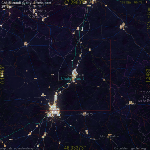
» Earth at Night: Flat Maps 2012, 2016