Ploërmel night lights from space
Night Light of Ploërmel (Brittany) from space (France) Src. Average luminocity for 10x10km area is 6.9631% and for 50x50km: 0.8472%.
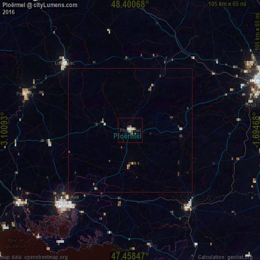
Analysis of Ploërmel night lights 2016
Square area 10x10 km:
 0.57%
0.57%90-99
1.7%80-89
0.57%70-79
0%60-69
1.85%50-59
1.28%40-49
0.85%30-39
1.14%20-29
0%10-19
1.7%0-9
90.34%Square area 50x50 km:
0.02%90-99
0.11%80-89
0.14%70-79
0.05%60-69
0.12%50-59
0.16%40-49
0.13%30-39
0.39%20-29
0.13%10-19
0.19%0-9
98.56%Clear (daylight) street map image can be seen on geolist.org.
Map coordinates:
48° 24' 2.4" North, 3° 6' 3.3" West
47° 55' 54.2" North, 2° 23' 52.1" West
47° 27' 30.5" North, 1° 41' 40.8" West
Some cities around Ploërmel sort by population:
• Vannes
40.5 km =25.2 mi,  221°
221°
• Loudéac
38.1 km =23.7 mi,  315°
315°
• Redon
39 km =24.2 mi,  143°
143°
• Saint-Avé
37.4 km =23.2 mi, 224°
• Questembert
30.2 km =18.8 mi,  187°
187°
• Guer
20.7 km =12.9 mi,  97°
97°
• Montfort-sur-Meu
40.1 km =24.9 mi,  55°
55°
• Theix
38.6 km =24 mi,  209°
209°
2986729 (p: 8,422)
Sources (retrieved 2019-11-25):
» Earth at Night: Flat Maps 2012, 2016