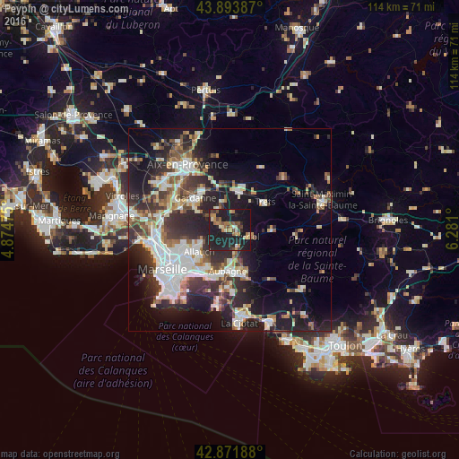
Peypin night lights from space
Night Light of Peypin (Provence-Alpes-Côte d'Azur) from space (France) Src. Average luminocity for 10x10km area is 31.9365% and for 50x50km: 27.8304%.
Analysis of Peypin night lights 2016
Square area 10x10 km:
 0.63%
0.63%90-99
2.38%80-89
5.08%70-79
3.97%60-69
7.94%50-59
2.7%40-49
6.98%30-39
1.9%20-29
13.81%10-19
54.13%0-9
0.48%Square area 50x50 km:
5.73%90-99
5.56%80-89
2.89%70-79
2.27%60-69
2.99%50-59
3.4%40-49
3.45%30-39
4.76%20-29
9.66%10-19
15.47%0-9
43.82%Clear (daylight) street map image can be seen on geolist.org.
Map coordinates:
43° 53' 37.9" North, 4° 52' 29.1" East
43° 23' 6.1" North, 5° 34' 40.4" East
42° 52' 18.8" North, 6° 16' 51.6" East
Some cities around Peypin sort by population:
• Aubagne
10.3 km =6.4 mi,  183°
183°
• Allauch
9.5 km =5.9 mi,  234°
234°
• Plan-de-Cuques
10.1 km =6.3 mi,  245°
245°
• Auriol
4.8 km =3 mi,  108°
108°
• Roquevaire
4.4 km =2.7 mi,  151°
151°
• Fuveau
8 km =5 mi,  350°
350°
• Gémenos
10.6 km =6.6 mi,  157°
157°
• La Bouilladisse
1.7 km =1.1 mi,  44°
44°
2987547 (p: 5,133)
Sources (retrieved 2019-11-25):
» Earth at Night: Flat Maps 2012, 2016