Perpignan night lights from space
Night Light of Perpignan (Occitanie) from space (France) Src. Average luminocity for 10x10km area is 76.4773% and for 50x50km: 15.3943%.
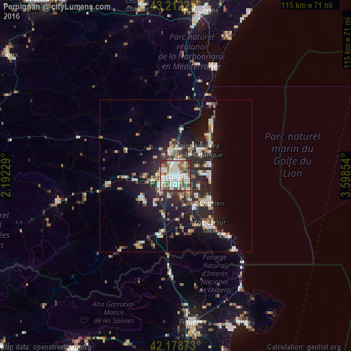
Analysis of Perpignan night lights 2016
Square area 10x10 km:
 24.09%
90-99
27.73%80-89
4.55%70-79
4.39%60-69
8.48%50-59
8.18%40-49
8.64%30-39
10.45%20-29
3.48%10-19
0%0-9
0%Square area 50x50 km:
2.23%90-99
3.14%80-89
1.82%70-79
1.3%60-69
1.67%50-59
1.62%40-49
1.56%30-39
2.31%20-29
6.1%10-19
10.72%0-9
67.54%Clear (daylight) street map image can be seen on geolist.org.
Map coordinates:
43° 12' 44.1" North, 2° 11' 32.2" East
42° 41' 51.5" North, 2° 53' 43.5" East
42° 10' 43.4" North, 3° 35' 54.7" East
Some cities around Perpignan sort by population:
• Canet-en-Roussillon
9.9 km =6.2 mi,  88°
88°
• Saint-Estève
4.4 km =2.7 mi,  290°
290°
• Cabestany
4.2 km =2.6 mi,  115°
115°
• Rivesaltes
8.2 km =5.1 mi,  346°
346°
• Bompas
5 km =3.1 mi,  37°
37°
• Le Soler
8.5 km =5.3 mi,  257°
257°
• Toulouges
6.2 km =3.9 mi,  239°
239°
• Pia
5.6 km =3.5 mi,  20°
20°
2987914 (p: 110,706)
Sources (retrieved 2019-11-25):
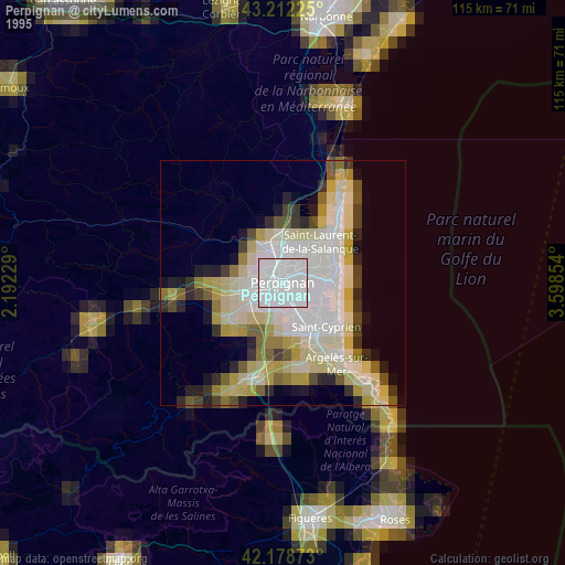
» NASA, Earths city lights 1995
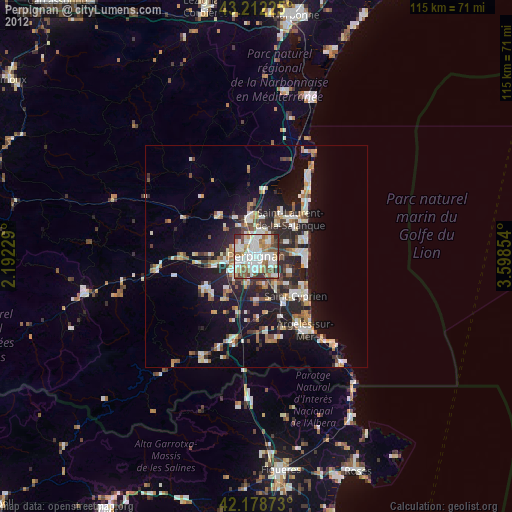
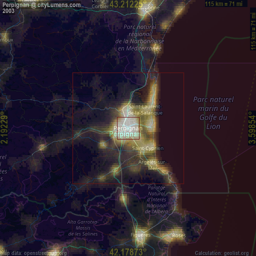
» NASA city lights 2003
» Earth at Night: Flat Maps 2012, 2016