Nîmes night lights from space
Night Light of Nîmes (Occitanie) from space (France) Src. Average luminocity for 10x10km area is 69.3143% and for 50x50km: 19.3463%.
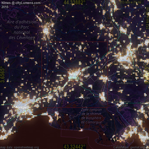
Analysis of Nîmes night lights 2016
Square area 10x10 km:
 18.73%
90-99
20.48%80-89
4.6%70-79
3.49%60-69
10.95%50-59
11.43%40-49
14.6%30-39
6.35%20-29
8.1%10-19
1.27%0-9
0%Square area 50x50 km:
1.93%90-99
3.48%80-89
2.39%70-79
1.91%60-69
2.52%50-59
2.11%40-49
2.37%30-39
1.76%20-29
7.17%10-19
16.57%0-9
57.79%Clear (daylight) street map image can be seen on geolist.org.
Map coordinates:
44° 20' 19.8" North, 3° 39' 23.4" East
43° 50' 1.6" North, 4° 21' 34.6" East
43° 19' 27.9" North, 5° 3' 45.9" East
Some cities around Nîmes sort by population:
• Saint-Gilles
18.4 km =11.4 mi,  162°
162°
• Vauvert
16.8 km =10.4 mi,  203°
203°
• Marguerittes
7.4 km =4.6 mi,  67°
67°
• Uzès
20.5 km =12.7 mi,  12°
12°
• Manduel
9.2 km =5.7 mi,  100°
100°
• Bouillargues
6.9 km =4.3 mi,  126°
126°
• Bellegarde
15.5 km =9.6 mi, 125°
• Milhaud
6.3 km =3.9 mi,  218°
218°
2990363 (p: 148,236)
Sources (retrieved 2019-11-25):
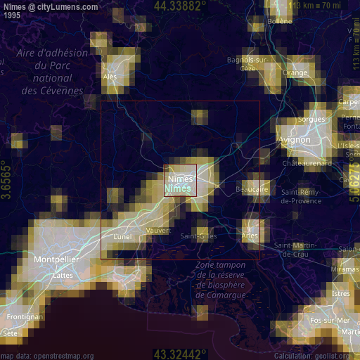
» NASA, Earths city lights 1995
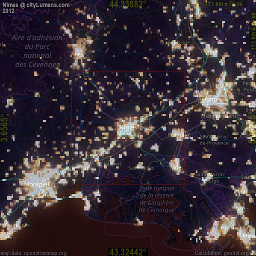
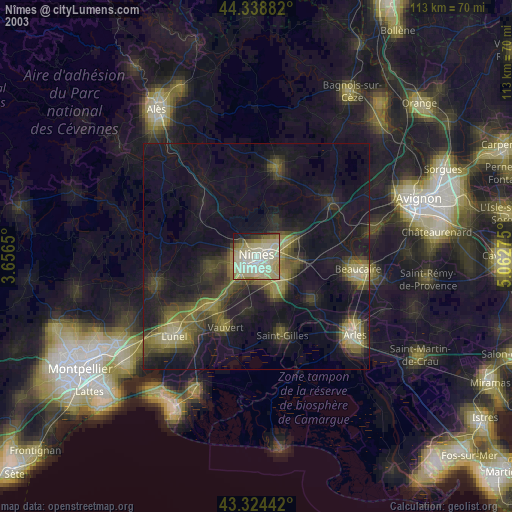
» NASA city lights 2003
» Earth at Night: Flat Maps 2012, 2016