Montélimar night lights from space
Night Light of Montélimar (Auvergne-Rhône-Alpes) from space (France) Src. Average luminocity for 10x10km area is 38.2348% and for 50x50km: 8.0807%.
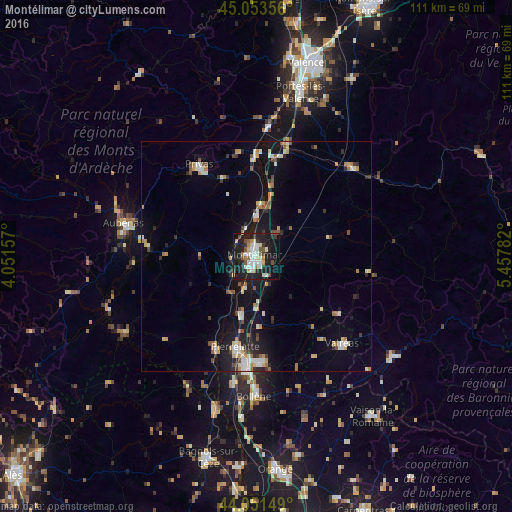
Analysis of Montélimar night lights 2016
Square area 10x10 km:
 7.27%
7.27%90-99
8.48%80-89
3.79%70-79
2.58%60-69
3.94%50-59
4.24%40-49
4.7%30-39
2.58%20-29
15%10-19
37.42%0-9
10%Square area 50x50 km:
0.84%90-99
1.48%80-89
0.74%70-79
1.02%60-69
1.01%50-59
0.91%40-49
0.95%30-39
0.76%20-29
1.94%10-19
6.82%0-9
83.53%Clear (daylight) street map image can be seen on geolist.org.
Map coordinates:
45° 3' 12.8" North, 4° 3' 5.7" East
44° 33' 16.8" North, 4° 45' 16.9" East
44° 3' 5.4" North, 5° 27' 28.2" East
Some cities around Montélimar sort by population:
• Pierrelatte
20.3 km =12.6 mi,  191°
191°
• Valréas
26.6 km =16.5 mi,  135°
135°
• Privas
23.5 km =14.6 mi,  328°
328°
• Le Teil
5.8 km =3.6 mi,  259°
259°
• Livron-sur-Drôme
25.6 km =15.9 mi,  15°
15°
• Bourg-Saint-Andéol
22 km =13.7 mi,  203°
203°
• Saint-Paul-Trois-Châteaux
23.2 km =14.4 mi,  178°
178°
• Loriol-sur-Drôme
22 km =13.7 mi,  13°
13°
2992703 (p: 35,637)
Sources (retrieved 2019-11-25):
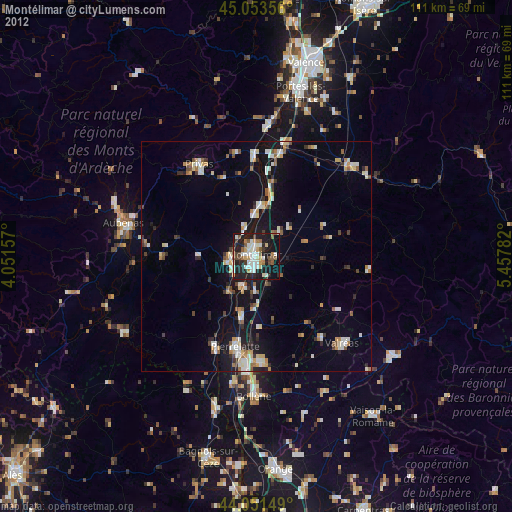
» Earth at Night: Flat Maps 2012, 2016