Livron-sur-Drôme night lights from space
Night Light of Livron-sur-Drôme (Auvergne-Rhône-Alpes) from space (France) Src. Average luminocity for 10x10km area is 18.1045% and for 50x50km: 9.4778%.
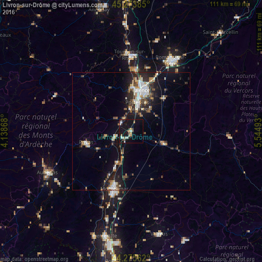
Analysis of Livron-sur-Drôme night lights 2016
Square area 10x10 km:
 1.67%
1.67%90-99
4.39%80-89
0.76%70-79
2.88%60-69
0.3%50-59
1.52%40-49
4.24%30-39
1.21%20-29
1.82%10-19
29.24%0-9
51.97%Square area 50x50 km:
1.21%90-99
1.82%80-89
0.74%70-79
1%60-69
1.07%50-59
1.13%40-49
1.47%30-39
1.42%20-29
2.8%10-19
7.19%0-9
80.15%Clear (daylight) street map image can be seen on geolist.org.
Map coordinates:
45° 16' 25.9" North, 4° 8' 19.2" East
44° 46' 36.8" North, 4° 50' 30.5" East
44° 16' 32.2" North, 5° 32' 41.7" East
Some cities around Livron-sur-Drôme sort by population:
• Valence
17.4 km =10.8 mi,  17°
17°
• Guilherand-Granges
17.5 km =10.9 mi,  8°
8°
• Portes-lès-Valence
11.3 km =7 mi, 13°
• Crest
14.8 km =9.2 mi,  112°
112°
• Saint-Péray
19.1 km =11.9 mi,  0°
0°
• Chabeuil
19.2 km =11.9 mi,  45°
45°
• Loriol-sur-Drôme
3.8 km =2.4 mi,  210°
210°
• La Voulte-sur-Rhône
5.5 km =3.4 mi,  297°
297°
2998059 (p: 8,440)
Sources (retrieved 2019-11-25):
» Earth at Night: Flat Maps 2012, 2016