Mer night lights from space
Night Light of Mer (Centre) from space (France) Src. Average luminocity for 10x10km area is 7.8229% and for 50x50km: 3.4639%.
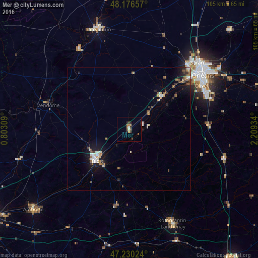
Analysis of Mer night lights 2016
Square area 10x10 km:
 0.3%
0.3%90-99
0.3%80-89
0.89%70-79
1.34%60-69
1.93%50-59
1.49%40-49
1.49%30-39
1.93%20-29
1.04%10-19
0%0-9
89.29%Square area 50x50 km:
0.4%90-99
0.55%80-89
0.26%70-79
0.33%60-69
0.53%50-59
0.55%40-49
0.48%30-39
0.41%20-29
0.74%10-19
2.46%0-9
93.3%Clear (daylight) street map image can be seen on geolist.org.
Map coordinates:
48° 10' 35.7" North, 0° 48' 11.1" East
47° 42' 20" North, 1° 30' 22.4" East
47° 13' 48.9" North, 2° 12' 33.6" East
Some cities around Mer sort by population:
• Blois
18.1 km =11.2 mi,  227°
227°
• La Chapelle-Saint-Mesmin
31.7 km =19.7 mi,  50°
50°
• Ingré
33.8 km =21 mi, 45°
• Beaugency
12.3 km =7.6 mi, 47°
• La Ferté-Saint-Aubin
32.4 km =20.1 mi,  87°
87°
• Vineuil
16.7 km =10.4 mi,  215°
215°
• Meung-sur-Loire
19.9 km =12.4 mi, 45°
• Saint-Pryvé-Saint-Mesmin
33.5 km =20.8 mi, 54°
2994481 (p: 5,830)
Sources (retrieved 2019-11-25):
» Earth at Night: Flat Maps 2012, 2016