Maxéville night lights from space
Night Light of Maxéville (Grand Est) from space (France) Src. Average luminocity for 10x10km area is 66.2158% and for 50x50km: 12.571%.
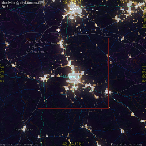
Analysis of Maxéville night lights 2016
Square area 10x10 km:
 31.55%
90-99
16.52%80-89
2.08%70-79
2.53%60-69
1.64%50-59
3.13%40-49
4.61%30-39
13.39%20-29
20.24%10-19
4.32%0-9
0%Square area 50x50 km:
2.94%90-99
2.89%80-89
0.7%70-79
0.82%60-69
0.88%50-59
1.07%40-49
1.15%30-39
1.89%20-29
3.42%10-19
10.46%0-9
73.77%Clear (daylight) street map image can be seen on geolist.org.
Map coordinates:
49° 10' 30.1" North, 5° 27' 48.5" East
48° 42' 47.7" North, 6° 9' 59.7" East
48° 14' 49.8" North, 6° 52' 11" East
Some cities around Maxéville sort by population:
• Nancy
3.5 km =2.2 mi,  157°
157°
• Laxou
3.5 km =2.2 mi,  201°
201°
• Villers-lès-Nancy
4.6 km =2.9 mi,  192°
192°
• Saint-Max
3.1 km =1.9 mi,  108°
108°
• Malzéville
1.3 km =0.8 mi,  94°
94°
• Essey-lès-Nancy
4.5 km =2.8 mi,  101°
101°
• Tomblaine
4.9 km =3 mi,  131°
131°
• Champigneulles
2.3 km =1.4 mi,  351°
351°
2994951 (p: 9,226)
Sources (retrieved 2019-11-25):
» Earth at Night: Flat Maps 2012, 2016