Malzéville night lights from space
Night Light of Malzéville (Grand Est) from space (France) Src. Average luminocity for 10x10km area is 70.375% and for 50x50km: 12.7594%.
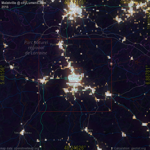
Analysis of Malzéville night lights 2016
Square area 10x10 km:
 33.04%
90-99
18.01%80-89
2.98%70-79
3.87%60-69
2.68%50-59
4.46%40-49
4.61%30-39
13.99%20-29
11.01%10-19
4.91%0-9
0.45%Square area 50x50 km:
3.03%90-99
2.96%80-89
0.68%70-79
0.83%60-69
0.91%50-59
1.06%40-49
1.16%30-39
1.89%20-29
3.46%10-19
10.58%0-9
73.44%Clear (daylight) street map image can be seen on geolist.org.
Map coordinates:
49° 10' 27" North, 5° 28' 53.6" East
48° 42' 44.5" North, 6° 11' 4.8" East
48° 14' 46.5" North, 6° 53' 16.1" East
Some cities around Malzéville sort by population:
• Nancy
3.1 km =1.9 mi,  179°
179°
• Laxou
4.1 km =2.5 mi,  219°
219°
• Villers-lès-Nancy
4.9 km =3 mi,  208°
208°
• Saint-Max
1.9 km =1.2 mi,  118°
118°
• Maxéville
1.3 km =0.8 mi,  274°
274°
• Essey-lès-Nancy
3.2 km =2 mi,  104°
104°
• Tomblaine
3.9 km =2.4 mi,  143°
143°
• Champigneulles
2.9 km =1.8 mi,  325°
325°
2996298 (p: 8,095)
Sources (retrieved 2019-11-25):
» Earth at Night: Flat Maps 2012, 2016