Le Mans night lights from space
Night Light of Le Mans (Pays de la Loire) from space (France) Src. Average luminocity for 10x10km area is 65.6619% and for 50x50km: 4.351%.
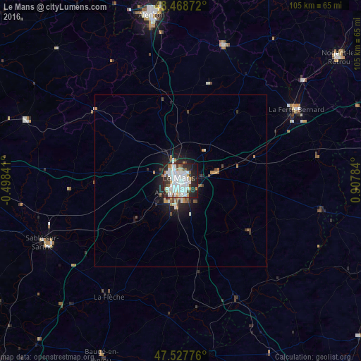
Analysis of Le Mans night lights 2016
Square area 10x10 km:
 21.31%
90-99
25.43%80-89
1.56%70-79
5.54%60-69
3.98%50-59
3.84%40-49
3.84%30-39
4.83%20-29
17.33%10-19
11.79%0-9
0.57%Square area 50x50 km:
0.91%90-99
1.17%80-89
0.12%70-79
0.48%60-69
0.43%50-59
0.39%40-49
0.41%30-39
0.4%20-29
1.43%10-19
2.81%0-9
91.45%Clear (daylight) street map image can be seen on geolist.org.
Map coordinates:
48° 28' 7.4" North, 0° 29' 54.3" West
48° 0' 1.4" North, 0° 12' 17" East
47° 31' 39.9" North, 0° 54' 28.2" East
Some cities around Le Mans sort by population:
• La Flèche
39.6 km =24.6 mi,  211°
211°
• Allonnes
5.1 km =3.2 mi,  223°
223°
• La Ferté-Bernard
39.2 km =24.4 mi,  58°
58°
• Coulaines
2.6 km =1.6 mi,  359°
359°
• Mamers
40.7 km =25.3 mi,  17°
17°
• Arnage
8.3 km =5.2 mi,  188°
188°
• Château-du-Loir
37.5 km =23.3 mi,  154°
154°
• Changé
6.1 km =3.8 mi,  106°
106°
3003603 (p: 144,515)
Sources (retrieved 2019-11-25):
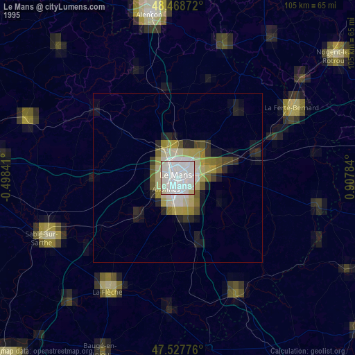
» NASA, Earths city lights 1995
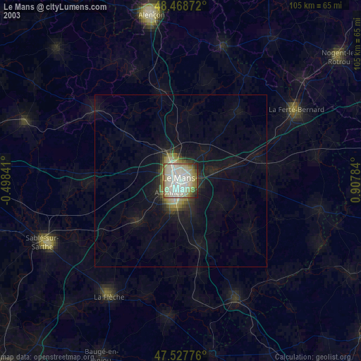
» NASA city lights 2003
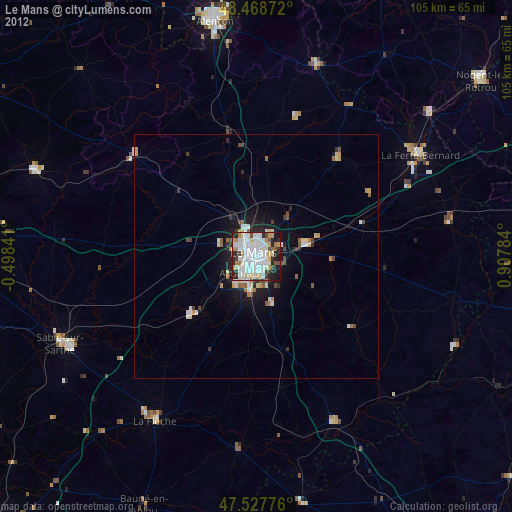
» Earth at Night: Flat Maps 2012, 2016