Château-du-Loir night lights from space
Night Light of Château-du-Loir (Pays de la Loire) from space (France) Src. Average luminocity for 10x10km area is 0.9851% and for 50x50km: 0.474%.
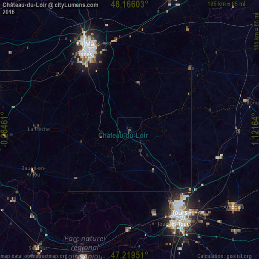
Analysis of Château-du-Loir night lights 2016
Square area 10x10 km:
 0%
0%90-99
0%80-89
0%70-79
0%60-69
0%50-59
0%40-49
0.3%30-39
1.93%20-29
0.15%10-19
0.6%0-9
97.02%Square area 50x50 km:
0%90-99
0.02%80-89
0.01%70-79
0.04%60-69
0.05%50-59
0.06%40-49
0.1%30-39
0.17%20-29
0.13%10-19
0.66%0-9
98.76%Clear (daylight) street map image can be seen on geolist.org.
Map coordinates:
48° 9' 57.7" North, 0° 17' 4.6" West
47° 41' 41.7" North, 0° 25' 6.6" East
47° 13' 10.2" North, 1° 7' 17.9" East
Some cities around Château-du-Loir sort by population:
• Le Mans
37.5 km =23.3 mi,  334°
334°
• La Flèche
37 km =23 mi,  270°
270°
• Saint-Cyr-sur-Loire
37.7 km =23.4 mi,  150°
150°
• Allonnes
36 km =22.4 mi, 327°
• Fondettes
35.1 km =21.8 mi,  157°
157°
• Arnage
30.9 km =19.2 mi, 326°
• Changé
33.8 km =21 mi,  342°
342°
• Luynes
36 km =22.4 mi, 163°
3026286 (p: 5,567)
Sources (retrieved 2019-11-25):
» Earth at Night: Flat Maps 2012, 2016