Coulaines night lights from space
Night Light of Coulaines (Pays de la Loire) from space (France) Src. Average luminocity for 10x10km area is 52.9801% and for 50x50km: 4.3528%.
Analysis of Coulaines night lights 2016
Square area 10x10 km:
 16.48%
90-99
19.18%80-89
0.43%70-79
3.69%60-69
3.84%50-59
2.98%40-49
2.98%30-39
4.55%20-29
15.77%10-19
23.01%0-9
7.1%Square area 50x50 km:
0.91%90-99
1.17%80-89
0.12%70-79
0.48%60-69
0.43%50-59
0.39%40-49
0.41%30-39
0.4%20-29
1.43%10-19
2.81%0-9
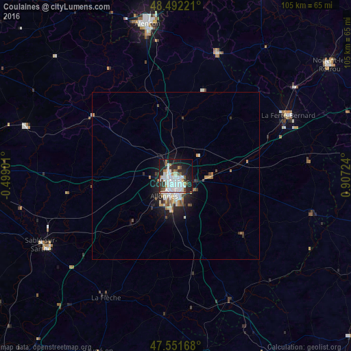
91.45%Clear (daylight) street map image can be seen on geolist.org.
Map coordinates:
48° 29' 32" North, 0° 29' 56.4" West
48° 1' 26.7" North, 0° 12' 14.8" East
47° 33' 6" North, 0° 54' 26.1" East
Some cities around Coulaines sort by population:
• Le Mans
2.6 km =1.6 mi,  179°
179°
• La Flèche
41.8 km =26 mi,  209°
209°
• Allonnes
7.2 km =4.5 mi, 208°
• La Ferté-Bernard
37.9 km =23.5 mi,  61°
61°
• Mamers
38.2 km =23.7 mi,  18°
18°
• Arnage
11 km =6.8 mi,  186°
186°
• Château-du-Loir
39.9 km =24.8 mi,  156°
156°
• Changé
7.3 km =4.5 mi,  126°
126°
3023291 (p: 7,912)
Sources (retrieved 2019-11-25):
» Earth at Night: Flat Maps 2012, 2016