Aix-les-Bains night lights from space
Night Light of Aix-les-Bains (Auvergne-Rhône-Alpes) from space (France) Src. Average luminocity for 10x10km area is 32.1439% and for 50x50km: 9.5792%.
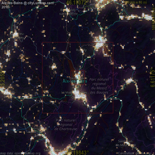
Analysis of Aix-les-Bains night lights 2016
Square area 10x10 km:
 2.73%
2.73%90-99
6.67%80-89
4.09%70-79
2.73%60-69
3.79%50-59
5.91%40-49
4.55%30-39
4.39%20-29
12.88%10-19
31.52%0-9
20.76%Square area 50x50 km:
1.29%90-99
1.64%80-89
0.77%70-79
0.96%60-69
1.04%50-59
1.23%40-49
1.3%30-39
1.56%20-29
3.34%10-19
6.6%0-9
80.28%Clear (daylight) street map image can be seen on geolist.org.
Map coordinates:
46° 10' 50.6" North, 5° 12' 19.8" East
45° 41' 30.2" North, 5° 54' 31.1" East
45° 11' 54.3" North, 6° 36' 42.3" East
Some cities around Aix-les-Bains sort by population:
• Chambéry
14 km =8.7 mi,  176°
176°
• La Motte-Servolex
11 km =6.8 mi,  196°
196°
• Rumilly
19.1 km =11.9 mi,  8°
8°
• Belley
18.7 km =11.6 mi,  293°
293°
• La Ravoire
14.9 km =9.3 mi,  164°
164°
• Cognin
14.8 km =9.2 mi,  185°
185°
• Saint-Alban-Leysse
12.5 km =7.8 mi,  165°
165°
• Barberaz
14.7 km =9.1 mi, 169°
3038350 (p: 27,651)
Sources (retrieved 2019-11-25):
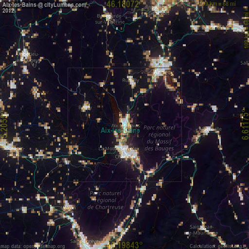
» Earth at Night: Flat Maps 2012, 2016