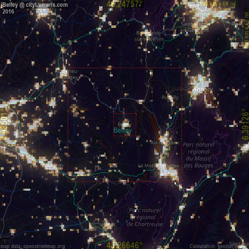
Belley night lights from space
Night Light of Belley (Auvergne-Rhône-Alpes) from space (France) Src. Average luminocity for 10x10km area is 12.4413% and for 50x50km: 8.6754%.
Analysis of Belley night lights 2016
Square area 10x10 km:
 1.9%
1.9%90-99
1.27%80-89
0.79%70-79
1.11%60-69
0.48%50-59
3.65%40-49
3.81%30-39
1.59%20-29
0.32%10-19
1.75%0-9
83.33%Square area 50x50 km:
1.02%90-99
1.26%80-89
0.67%70-79
0.92%60-69
1.03%50-59
1.27%40-49
1.41%30-39
1.75%20-29
2.88%10-19
4.74%0-9
83.06%Clear (daylight) street map image can be seen on geolist.org.
Map coordinates:
46° 14' 51.3" North, 4° 59' 6" East
45° 45' 33" North, 5° 41' 17.3" East
45° 15' 59.3" North, 6° 23' 28.5" East
Some cities around Belley sort by population:
• Chambéry
28.1 km =17.5 mi,  139°
139°
• Aix-les-Bains
18.7 km =11.6 mi,  113°
113°
• La Motte-Servolex
22.8 km =14.2 mi, 142°
• Rumilly
22.9 km =14.2 mi,  60°
60°
• La Tour-du-Pin
28.6 km =17.8 mi,  221°
221°
• Cognin
27.2 km =16.9 mi, 144°
• Saint-Alban-Leysse
28.2 km =17.5 mi,  133°
133°
• Barberaz
29.6 km =18.4 mi, 137°
3033625 (p: 9,145)
Sources (retrieved 2019-11-25):
» Earth at Night: Flat Maps 2012, 2016