Chambéry night lights from space
Night Light of Chambéry (Auvergne-Rhône-Alpes) from space (France) Src. Average luminocity for 10x10km area is 52.4288% and for 50x50km: 7.6286%.
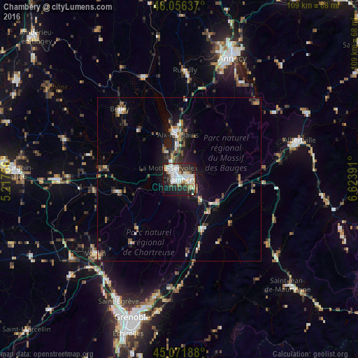
Analysis of Chambéry night lights 2016
Square area 10x10 km:
 15.91%
90-99
14.09%80-89
4.85%70-79
3.18%60-69
2.42%50-59
4.85%40-49
5%30-39
5.3%20-29
18.48%10-19
22.12%0-9
3.79%Square area 50x50 km:
0.92%90-99
1.3%80-89
0.59%70-79
0.72%60-69
0.85%50-59
1.23%40-49
1.15%30-39
1.17%20-29
2.27%10-19
4.97%0-9
84.84%Clear (daylight) street map image can be seen on geolist.org.
Map coordinates:
46° 3' 22.9" North, 5° 13' 3.6" East
45° 33' 58.6" North, 5° 55' 14.8" East
45° 4' 18.8" North, 6° 37' 26.1" East
Some cities around Chambéry sort by population:
• Aix-les-Bains
14 km =8.7 mi,  356°
356°
• La Motte-Servolex
5.4 km =3.4 mi,  309°
309°
• Belley
28.1 km =17.5 mi,  319°
319°
• Pontcharra
16.4 km =10.2 mi,  152°
152°
• La Ravoire
2.9 km =1.8 mi,  97°
97°
• Cognin
2.4 km =1.5 mi,  251°
251°
• Saint-Alban-Leysse
3 km =1.9 mi,  50°
50°
• Barberaz
1.8 km =1.1 mi,  106°
106°
3027422 (p: 61,640)
Sources (retrieved 2019-11-25):
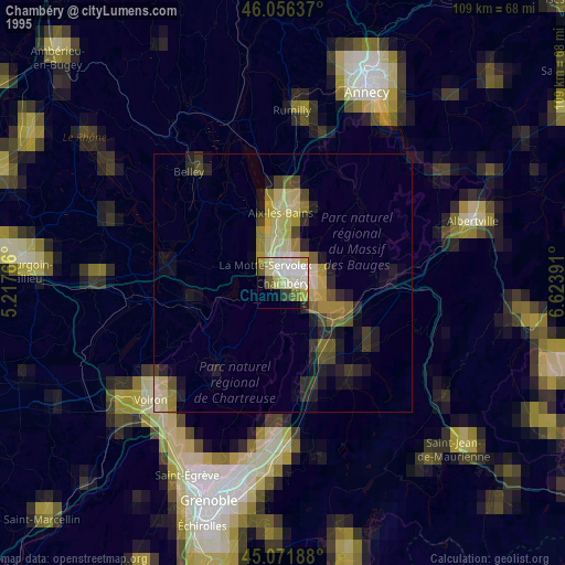
» NASA, Earths city lights 1995
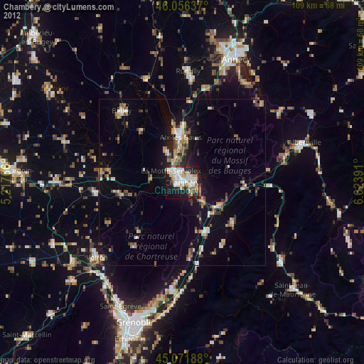
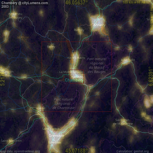
» NASA city lights 2003
» Earth at Night: Flat Maps 2012, 2016