Alençon night lights from space
Night Light of Alençon (Normandy) from space (France) Src. Average luminocity for 10x10km area is 33.9119% and for 50x50km: 2.0288%.
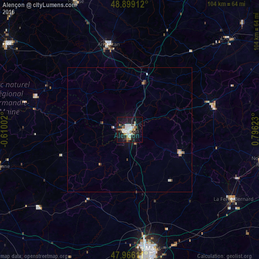

Analysis of Alençon night lights 2016
Square area 10x10 km:
 7.39%
7.39%90-99
8.95%80-89
1.28%70-79
4.55%60-69
3.69%50-59
2.56%40-49
0.85%30-39
3.13%20-29
7.95%10-19
36.22%0-9
23.44%Square area 50x50 km:
0.34%90-99
0.45%80-89
0.09%70-79
0.26%60-69
0.22%50-59
0.26%40-49
0.11%30-39
0.22%20-29
0.36%10-19
1.81%0-9
95.87%Clear (daylight) street map image can be seen on geolist.org.
Map coordinates:
48° 53' 56.8" North, 0° 36' 36.1" West
48° 26' 5.1" North, 0° 5' 35.2" East
47° 57' 58" North, 0° 47' 46.4" East
Some cities around Alençon sort by population:
• Le Mans
49 km =30.4 mi,  170°
170°
• Argentan
35.4 km =22 mi,  346°
346°
• La Ferté-Bernard
49.8 km =30.9 mi,  123°
123°
• Coulaines
46.4 km =28.8 mi, 169°
• Évron
47.8 km =29.7 mi,  229°
229°
• La Ferté-Macé
37.4 km =23.2 mi,  297°
297°
• Mamers
22.5 km =14 mi,  114°
114°
• Changé
52 km =32.3 mi,  164°
164°
3038230 (p: 30,786)
Sources (retrieved 2019-11-25):
» Earth at Night: Flat Maps 2012, 2016