La Ciotat night lights from space
Night Light of La Ciotat (Provence-Alpes-Côte d'Azur) from space (France) Src. Average luminocity for 10x10km area is 27.6591% and for 50x50km: 20.1817%.
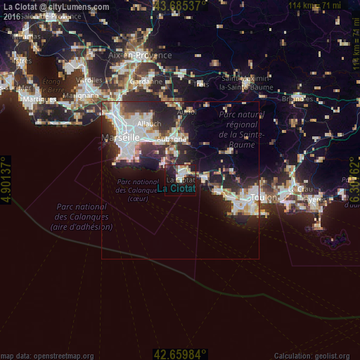
Analysis of La Ciotat night lights 2016
Square area 10x10 km:
 5.61%
5.61%90-99
4.7%80-89
3.79%70-79
1.67%60-69
4.09%50-59
1.21%40-49
2.42%30-39
1.52%20-29
8.79%10-19
32.58%0-9
33.64%Square area 50x50 km:
5.33%90-99
4.64%80-89
1.78%70-79
1.37%60-69
2.07%50-59
1.62%40-49
1.64%30-39
2.9%20-29
7.06%10-19
10.37%0-9
61.22%Clear (daylight) street map image can be seen on geolist.org.
Map coordinates:
43° 41' 7.3" North, 4° 54' 4.9" East
43° 10' 29.1" North, 5° 36' 16.2" East
42° 39' 35.4" North, 6° 18' 27.4" East
Some cities around La Ciotat sort by population:
• Aubagne
13.4 km =8.3 mi,  348°
348°
• Saint-Cyr-sur-Mer
7.9 km =4.9 mi,  85°
85°
• Bandol
12.1 km =7.5 mi,  107°
107°
• Cassis
7 km =4.3 mi,  310°
310°
• Carnoux-en-Provence
9.6 km =6 mi,  340°
340°
• Sormiou
15.5 km =9.6 mi,  284°
284°
• La Penne-sur-Huveaune
13.9 km =8.6 mi,  329°
329°
• Gémenos
13.8 km =8.6 mi,  8°
8°
3010025 (p: 33,113)
Sources (retrieved 2019-11-25):
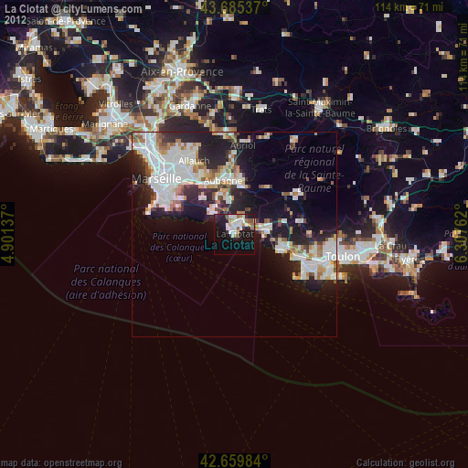
» Earth at Night: Flat Maps 2012, 2016