Bandol night lights from space
Night Light of Bandol (Provence-Alpes-Côte d'Azur) from space (France) Src. Average luminocity for 10x10km area is 35.5455% and for 50x50km: 17.1879%.
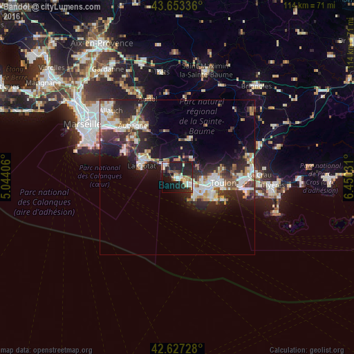
Analysis of Bandol night lights 2016
Square area 10x10 km:
 5.76%
5.76%90-99
8.48%80-89
4.39%70-79
1.36%60-69
4.55%50-59
1.97%40-49
3.94%30-39
3.18%20-29
18.64%10-19
32.58%0-9
15.15%Square area 50x50 km:
3.17%90-99
3.83%80-89
1.56%70-79
1.37%60-69
2.07%50-59
1.77%40-49
1.91%30-39
2.77%20-29
6.64%10-19
10.45%0-9
64.46%Clear (daylight) street map image can be seen on geolist.org.
Map coordinates:
43° 39' 12.1" North, 5° 2' 38.6" East
43° 8' 32.9" North, 5° 44' 49.8" East
42° 37' 38.2" North, 6° 27' 1.1" East
Some cities around Bandol sort by population:
• Toulon
14.8 km =9.2 mi,  97°
97°
• La Seyne-sur-Mer
11.5 km =7.1 mi,  112°
112°
• Six-Fours-les-Plages
8.4 km =5.2 mi,  131°
131°
• La Ciotat
12.1 km =7.5 mi,  287°
287°
• Sanary-sur-Mer
5.1 km =3.2 mi,  119°
119°
• Ollioules
8.2 km =5.1 mi,  92°
92°
• Saint-Cyr-sur-Mer
5.6 km =3.5 mi,  318°
318°
• Le Beausset
7.7 km =4.8 mi,  35°
35°
3035156 (p: 8,546)
Sources (retrieved 2019-11-25):
» Earth at Night: Flat Maps 2012, 2016