Juigné night lights from space
Night Light of Juigné (Pays de la Loire) from space (France) Src. Average luminocity for 10x10km area is 0.3482% and for 50x50km: 2.115%.
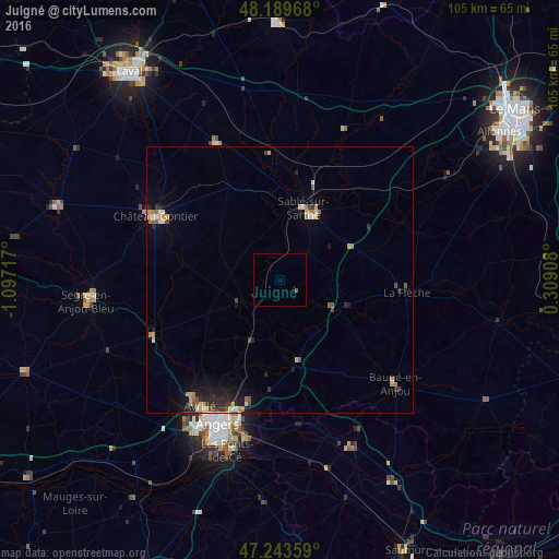
Analysis of Juigné night lights 2016
Square area 10x10 km:
 0%
0%90-99
0%80-89
0%70-79
0%60-69
0%50-59
0.6%40-49
0%30-39
0%20-29
0%10-19
0%0-9
99.4%Square area 50x50 km:
0.13%90-99
0.2%80-89
0.25%70-79
0.34%60-69
0.41%50-59
0.27%40-49
0.22%30-39
0.26%20-29
0.7%10-19
1.39%0-9
95.82%Clear (daylight) street map image can be seen on geolist.org.
Map coordinates:
48° 11' 22.8" North, 1° 5' 49.8" West
47° 43' 7.6" North, 0° 23' 38.6" West
47° 14' 36.9" North, 0° 18' 32.7" East
Some cities around Juigné sort by population:
• Angers
29.6 km =18.4 mi,  202°
202°
• La Flèche
23.9 km =14.9 mi,  95°
95°
• Sablé-sur-Sarthe
14 km =8.7 mi,  19°
19°
• Avrillé
28.2 km =17.5 mi,  210°
210°
• Les Ponts-de-Cé
34.3 km =21.3 mi, 196°
• Château-Gontier
26.1 km =16.2 mi,  297°
297°
• Trélazé
30.8 km =19.1 mi,  189°
189°
• Beaufort-en-Vallée
33.7 km =20.9 mi,  157°
157°
3012124 (p: 7,007)
Sources (retrieved 2019-11-25):
» Earth at Night: Flat Maps 2012, 2016