Colombes night lights from space
Night Light of Colombes (Île-de-France) from space (France) Src. Average luminocity for 10x10km area is 99.5369% and for 50x50km: 71.2262%.
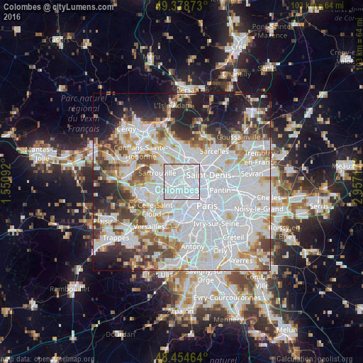
Analysis of Colombes night lights 2016
Square area 10x10 km:
 83.24%
90-99
16.19%80-89
0.57%70-79
0%60-69
0%50-59
0%40-49
0%30-39
0%20-29
0%10-19
0%0-9
0%Square area 50x50 km:
33.48%90-99
17.14%80-89
5.31%70-79
4.58%60-69
5.34%50-59
4.67%40-49
5.44%30-39
5.21%20-29
6.67%10-19
8.27%0-9
3.9%Clear (daylight) street map image can be seen on geolist.org.
Map coordinates:
49° 22' 43.4" North, 1° 33' 3.3" East
48° 55' 7.8" North, 2° 15' 14.5" East
48° 27' 16.7" North, 2° 57' 25.8" East
Some cities around Colombes sort by population:
• Argenteuil
3.3 km =2.1 mi,  351°
351°
• Asnières-sur-Seine
2.2 km =1.4 mi,  96°
96°
• Courbevoie
2.5 km =1.6 mi,  175°
175°
• Gennevilliers
3.7 km =2.3 mi,  64°
64°
• Bezons
3.1 km =1.9 mi,  281°
281°
• La Garenne-Colombes
1.7 km =1.1 mi,  198°
198°
• Bois-Colombes
1.5 km =0.9 mi,  87°
87°
• La Defense
3.2 km =2 mi, 200°
3024266 (p: 82,300)
Sources (retrieved 2019-11-25):
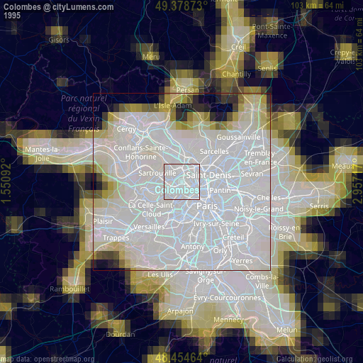
» NASA, Earths city lights 1995
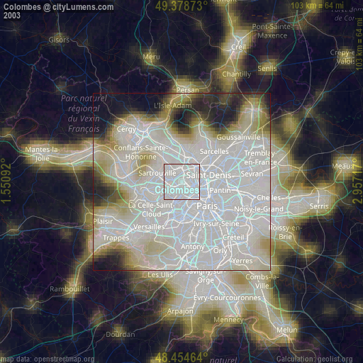
» NASA city lights 2003
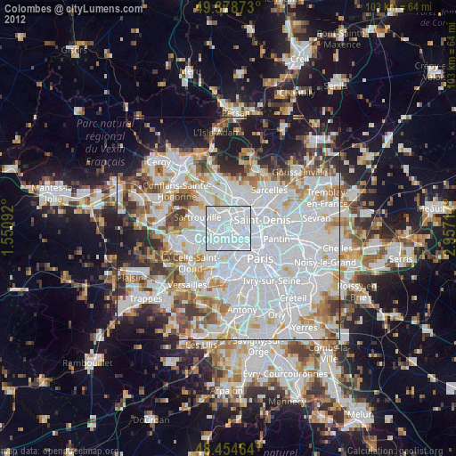
» Earth at Night: Flat Maps 2012, 2016