Guînes night lights from space
Night Light of Guînes (Hauts-de-France) from space (France) Src. Average luminocity for 10x10km area is 9.3557% and for 50x50km: 9.0974%.
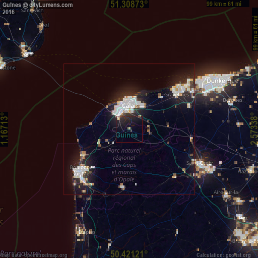
Analysis of Guînes night lights 2016
Square area 10x10 km:
 0.42%
0.42%90-99
0.28%80-89
0.84%70-79
0.98%60-69
0.28%50-59
0.98%40-49
0.14%30-39
0.98%20-29
7.56%10-19
19.47%0-9
68.07%Square area 50x50 km:
1.96%90-99
2.09%80-89
0.81%70-79
0.64%60-69
0.6%50-59
0.55%40-49
0.62%30-39
0.86%20-29
3.54%10-19
7.36%0-9
80.95%Clear (daylight) street map image can be seen on geolist.org.
Map coordinates:
51° 18' 31.4" North, 1° 10' 1.7" East
50° 52' 1.5" North, 1° 52' 12.9" East
50° 25' 16.4" North, 2° 34' 24.2" East
Some cities around Guînes sort by population:
• Calais
9.5 km =5.9 mi,  354°
354°
• Gravelines
22.4 km =13.9 mi,  53°
53°
• Marck
10.4 km =6.5 mi,  29°
29°
• Wimereux
21.2 km =13.2 mi,  239°
239°
• Grand-Fort-Philippe
22.2 km =13.8 mi, 48°
• Coulogne
6.4 km =4 mi,  6°
6°
• Oye-Plage
17.2 km =10.7 mi,  44°
44°
• Desvres
22.2 km =13.8 mi,  186°
186°
3014224 (p: 5,342)
Sources (retrieved 2019-11-25):
» Earth at Night: Flat Maps 2012, 2016