Oye-Plage night lights from space
Night Light of Oye-Plage (Hauts-de-France) from space (France) Src. Average luminocity for 10x10km area is 8.6891% and for 50x50km: 10.7139%.
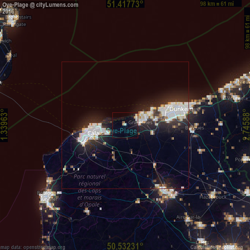
Analysis of Oye-Plage night lights 2016
Square area 10x10 km:
 1.12%
1.12%90-99
1.68%80-89
0.84%70-79
1.4%60-69
0.42%50-59
0.14%40-49
0.56%30-39
0.28%20-29
0.14%10-19
10.08%0-9
83.33%Square area 50x50 km:
2.82%90-99
2.74%80-89
0.85%70-79
0.49%60-69
0.41%50-59
0.49%40-49
0.73%30-39
1.39%20-29
4.33%10-19
7.55%0-9
78.21%Clear (daylight) street map image can be seen on geolist.org.
Map coordinates:
51° 25' 3.8" North, 1° 20' 22.7" East
50° 58' 37.7" North, 2° 2' 33.9" East
50° 31' 56.3" North, 2° 44' 45.2" East
Some cities around Oye-Plage sort by population:
• Calais
13.4 km =8.3 mi,  257°
257°
• Gravelines
6.1 km =3.8 mi,  80°
80°
• Marck
7.6 km =4.7 mi,  245°
245°
• Bourbourg
11.2 km =7 mi,  106°
106°
• Loon-Plage
12.4 km =7.7 mi, 80°
• Grand-Fort-Philippe
5.2 km =3.2 mi,  61°
61°
• Coulogne
12.7 km =7.9 mi,  242°
242°
• Guînes
17.2 km =10.7 mi,  224°
224°
2988893 (p: 5,683)
Sources (retrieved 2019-11-25):
» Earth at Night: Flat Maps 2012, 2016