Calais night lights from space
Night Light of Calais (Hauts-de-France) from space (France) Src. Average luminocity for 10x10km area is 63.9524% and for 50x50km: 7.0542%.
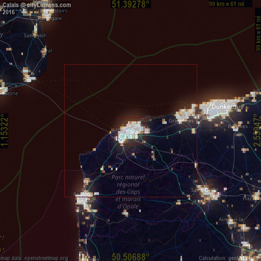
Analysis of Calais night lights 2016
Square area 10x10 km:
 26.19%
90-99
20.31%80-89
2.94%70-79
2.66%60-69
2.94%50-59
0.98%40-49
3.22%30-39
5.74%20-29
25.91%10-19
8.68%0-9
0.42%Square area 50x50 km:
1.64%90-99
1.64%80-89
0.57%70-79
0.48%60-69
0.45%50-59
0.35%40-49
0.4%30-39
0.67%20-29
2.77%10-19
5.65%0-9
85.37%Clear (daylight) street map image can be seen on geolist.org.
Map coordinates:
51° 23' 34" North, 1° 9' 11.6" East
50° 57' 7" North, 1° 51' 22.9" East
50° 30' 24.8" North, 2° 33' 34.1" East
Some cities around Calais sort by population:
• Gravelines
19.4 km =12.1 mi,  78°
78°
• Marck
6.1 km =3.8 mi,  93°
93°
• Bourbourg
23.8 km =14.8 mi, 91°
• Loon-Plage
25.8 km =16 mi, 78°
• Grand-Fort-Philippe
18.4 km =11.4 mi,  73°
73°
• Coulogne
3.5 km =2.2 mi,  150°
150°
• Oye-Plage
13.4 km =8.3 mi, 77°
• Guînes
9.5 km =5.9 mi,  174°
174°
3029162 (p: 74,433)
Sources (retrieved 2019-11-25):
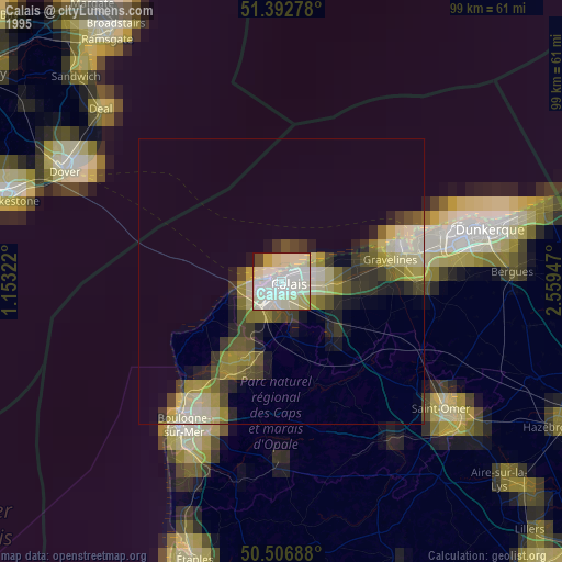
» NASA, Earths city lights 1995
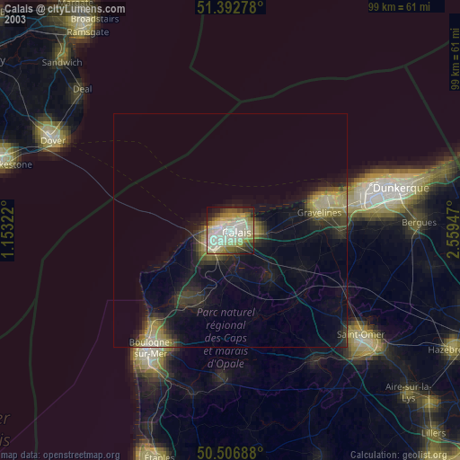
» NASA city lights 2003
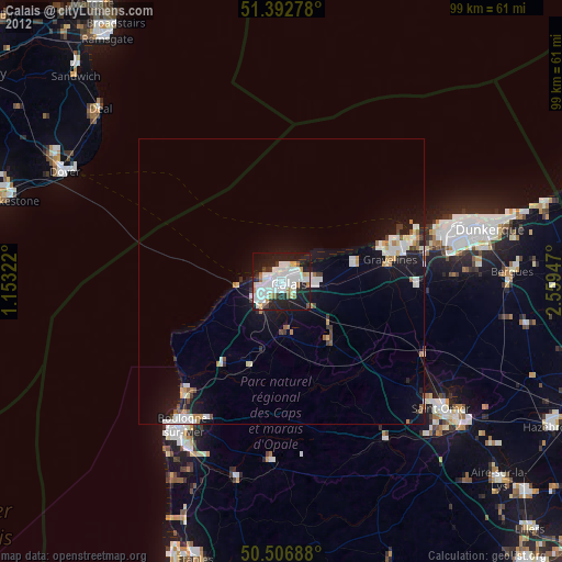
» Earth at Night: Flat Maps 2012, 2016