Saint-Malo night lights from space
Night Light of Saint-Malo (Brittany) from space (France) Src. Average luminocity for 10x10km area is 43.5685% and for 50x50km: 2.7347%.
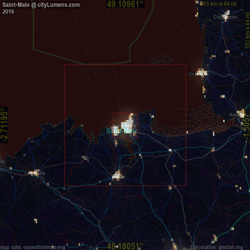

Analysis of Saint-Malo night lights 2016
Square area 10x10 km:
 11.76%
90-99
15.18%80-89
1.93%70-79
2.53%60-69
2.08%50-59
0.89%40-49
2.38%30-39
3.72%20-29
16.52%10-19
34.97%0-9
8.04%Square area 50x50 km:
0.53%90-99
0.72%80-89
0.14%70-79
0.15%60-69
0.14%50-59
0.16%40-49
0.23%30-39
0.35%20-29
0.86%10-19
2.34%0-9
94.37%Clear (daylight) street map image can be seen on geolist.org.
Map coordinates:
49° 6' 34.6" North, 2° 42' 43" West
48° 38' 49.9" North, 2° 0' 31.8" West
48° 10' 49.8" North, 1° 18' 20.5" West
Some cities around Saint-Malo sort by population:
• Granville
36.9 km =22.9 mi,  54°
54°
• Lamballe
42.2 km =26.2 mi,  241°
241°
• Dinan
21.5 km =13.4 mi,  188°
188°
• Dinard
4.2 km =2.6 mi,  245°
245°
• Avranches
48.1 km =29.9 mi,  85°
85°
• Cancale
11.9 km =7.4 mi,  74°
74°
• Dol-de-Bretagne
22 km =13.7 mi,  120°
120°
• Combourg
32.6 km =20.3 mi,  143°
143°
2978640 (p: 50,676)
Sources (retrieved 2019-11-25):
» NASA, Earths city lights 1995
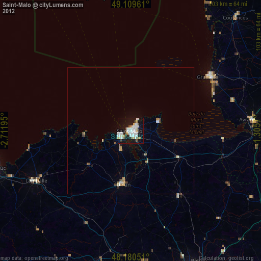
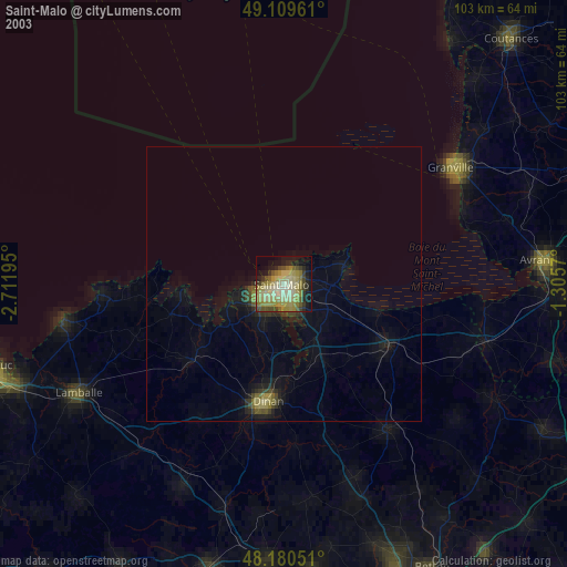
» NASA city lights 2003
» Earth at Night: Flat Maps 2012, 2016