Fréjus night lights from space
Night Light of Fréjus (Provence-Alpes-Côte d'Azur) from space (France) Src. Average luminocity for 10x10km area is 60.8825% and for 50x50km: 18.5989%.
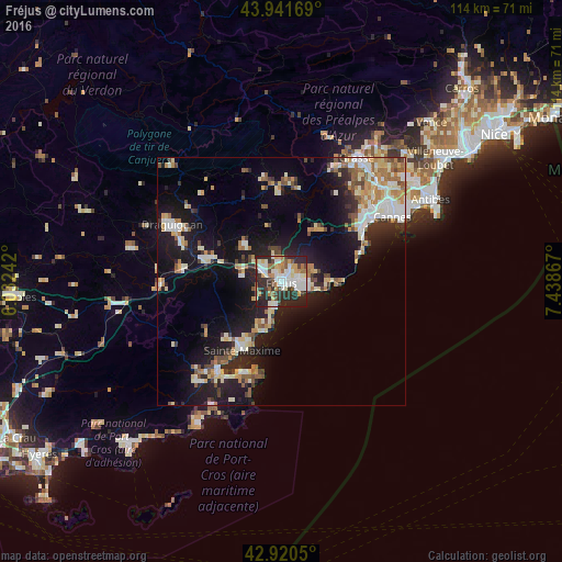
Analysis of Fréjus night lights 2016
Square area 10x10 km:
 14.44%
90-99
18.1%80-89
4.6%70-79
6.83%60-69
7.62%50-59
5.24%40-49
5.56%30-39
8.41%20-29
26.98%10-19
2.22%0-9
0%Square area 50x50 km:
2.45%90-99
4.12%80-89
2.01%70-79
1.98%60-69
2.56%50-59
2.05%40-49
2.11%30-39
2.08%20-29
5.28%10-19
14.42%0-9
60.94%Clear (daylight) street map image can be seen on geolist.org.
Map coordinates:
43° 56' 30.1" North, 6° 1' 56.7" East
43° 25' 59.7" North, 6° 44' 8" East
42° 55' 13.8" North, 7° 26' 19.2" East
Some cities around Fréjus sort by population:
• Saint-Raphaël
3.3 km =2.1 mi,  109°
109°
• Mandelieu-la-Napoule
20.5 km =12.7 mi,  52°
52°
• Sainte-Maxime
15.9 km =9.9 mi,  209°
209°
• Roquebrune-sur-Argens
8 km =5 mi,  277°
277°
• Le Muy
14.3 km =8.9 mi,  287°
287°
• Puget-sur-Argens
4.8 km =3 mi,  301°
301°
• Saint-Tropez
20 km =12.4 mi,  202°
202°
• Les Arcs
21 km =13 mi, 279°
3017253 (p: 53,098)
Sources (retrieved 2019-11-25):
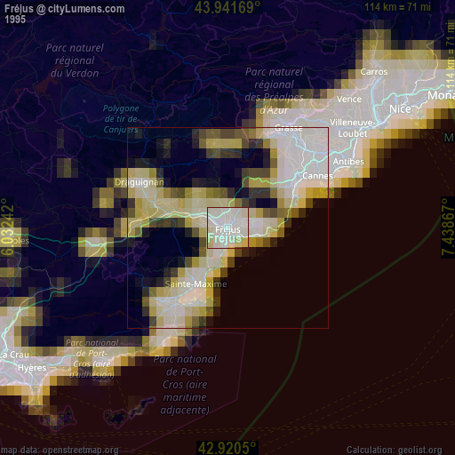
» NASA, Earths city lights 1995
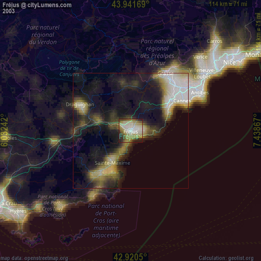
» NASA city lights 2003
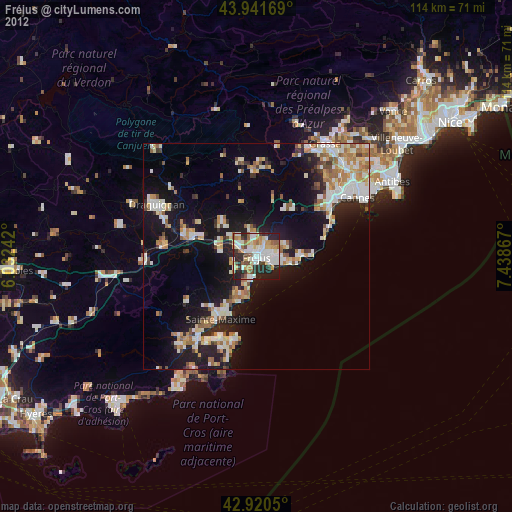
» Earth at Night: Flat Maps 2012, 2016