Étampes night lights from space
Night Light of Étampes (Île-de-France) from space (France) Src. Average luminocity for 10x10km area is 18.0497% and for 50x50km: 12.3695%.
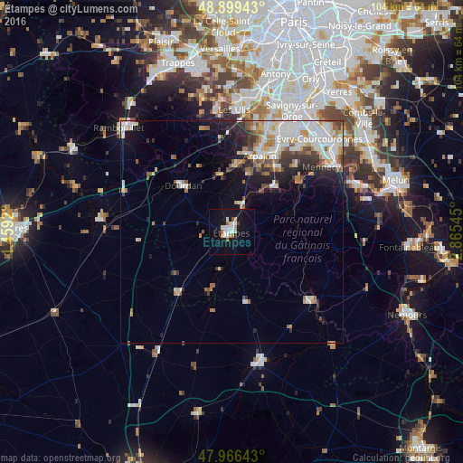
Analysis of Étampes night lights 2016
Square area 10x10 km:
 4.69%
4.69%90-99
3.27%80-89
1.14%70-79
1.7%60-69
2.13%50-59
1.28%40-49
0%30-39
0.57%20-29
0%10-19
22.44%0-9
62.78%Square area 50x50 km:
2.9%90-99
2.91%80-89
1.02%70-79
1.27%60-69
1.53%50-59
1.32%40-49
1.22%30-39
1.25%20-29
2.43%10-19
4.9%0-9
79.24%Clear (daylight) street map image can be seen on geolist.org.
Map coordinates:
48° 53' 57.9" North, 1° 27' 33.1" East
48° 26' 6.3" North, 2° 9' 44.4" East
47° 57' 59.1" North, 2° 51' 55.6" East
Some cities around Étampes sort by population:
• Dourdan
15.2 km =9.4 mi,  312°
312°
• Arpajon
18.2 km =11.3 mi,  19°
19°
• Saint-Germain-lès-Arpajon
19.6 km =12.2 mi, 22°
• Breuillet
15.1 km =9.4 mi,  3°
3°
• Ballancourt-sur-Essonne
19.3 km =12 mi,  58°
58°
• Étréchy
7 km =4.3 mi, 19°
• Itteville
16.1 km =10 mi, 56°
• Égly
16.6 km =10.3 mi, 15°
3019459 (p: 23,012)
Sources (retrieved 2019-11-25):
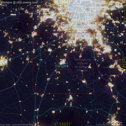
» Earth at Night: Flat Maps 2012, 2016