Égly night lights from space
Night Light of Égly (Île-de-France) from space (France) Src. Average luminocity for 10x10km area is 46.7932% and for 50x50km: 35.6222%.
Analysis of Égly night lights 2016
Square area 10x10 km:
 6.85%
6.85%90-99
7.74%80-89
5.8%70-79
5.95%60-69
10.71%50-59
7.44%40-49
6.7%30-39
4.61%20-29
17.41%10-19
24.4%0-9
2.38%Square area 50x50 km:
12.72%90-99
9.2%80-89
2.71%70-79
3.09%60-69
3.81%50-59
2.89%40-49
3.3%30-39
3.27%20-29
4.25%10-19
6.71%0-9
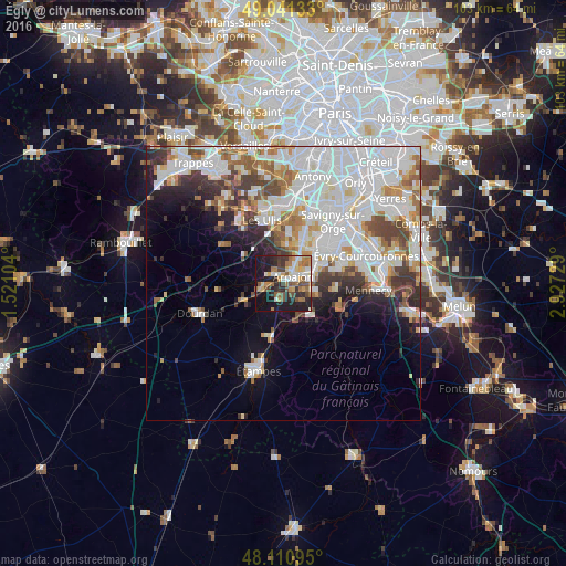
48.06%Clear (daylight) street map image can be seen on geolist.org.
Map coordinates:
49° 2' 28.8" North, 1° 31' 15.7" East
48° 34' 41.8" North, 2° 13' 27" East
48° 6' 39.4" North, 2° 55' 38.2" East
Some cities around Égly sort by population:
• Brétigny-sur-Orge
7 km =4.3 mi,  58°
58°
• Arpajon
2 km =1.2 mi,  54°
54°
• Saint-Germain-lès-Arpajon
3.7 km =2.3 mi, 54°
• Marcoussis
7 km =4.3 mi,  8°
8°
• Breuillet
3.8 km =2.4 mi,  256°
256°
• Montlhéry
7.8 km =4.8 mi,  28°
28°
• Longpont-sur-Orge
8.7 km =5.4 mi,  35°
35°
• Linas
6.5 km =4 mi, 26°
3020346 (p: 5,259)
Sources (retrieved 2019-11-25):
» Earth at Night: Flat Maps 2012, 2016