Embrun night lights from space
Night Light of Embrun (Provence-Alpes-Côte d'Azur) from space (France) Src. Average luminocity for 10x10km area is 9.1485% and for 50x50km: 1.4845%.
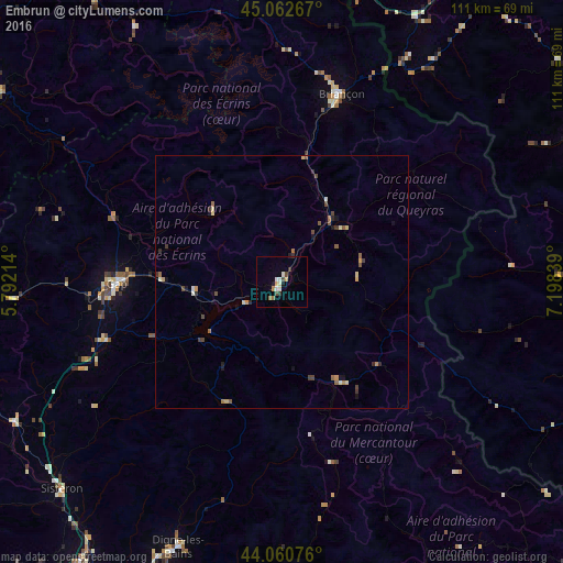
Analysis of Embrun night lights 2016
Square area 10x10 km:
 0.3%
0.3%90-99
3.33%80-89
0%70-79
1.36%60-69
1.52%50-59
0.15%40-49
1.52%30-39
1.67%20-29
0.61%10-19
1.06%0-9
88.48%Square area 50x50 km:
0.01%90-99
0.3%80-89
0.17%70-79
0.24%60-69
0.2%50-59
0.26%40-49
0.35%30-39
0.29%20-29
0.18%10-19
0.42%0-9
97.59%Clear (daylight) street map image can be seen on geolist.org.
Map coordinates:
45° 3' 45.6" North, 5° 47' 31.7" East
44° 33' 49.9" North, 6° 29' 42.9" East
44° 3' 38.7" North, 7° 11' 54.2" East
Some cities around Embrun sort by population:
• Gap
33 km =20.5 mi,  268°
268°
• Pinerolo, IT
75.1 km =46.7 mi,  61°
61°
• Digne-les-Bains
56.4 km =35 mi,  201°
201°
• Briançon
39.1 km =24.3 mi,  17°
17°
• Sisteron
60.3 km =37.5 mi,  226°
226°
• Airali, IT
66.1 km =41.1 mi, 64°
• Dronero, IT
69.6 km =43.2 mi,  99°
99°
• La Mure
67.3 km =41.8 mi,  303°
303°
3020251 (p: 7,069)
Sources (retrieved 2019-11-25):
» Earth at Night: Flat Maps 2012, 2016