Digne-les-Bains night lights from space
Night Light of Digne-les-Bains (Provence-Alpes-Côte d'Azur) from space (France) Src. Average luminocity for 10x10km area is 15.1394% and for 50x50km: 2.4944%.
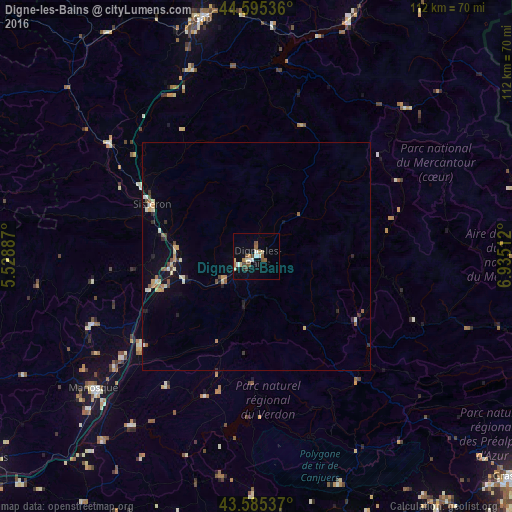
Analysis of Digne-les-Bains night lights 2016
Square area 10x10 km:
 1.67%
1.67%90-99
2.42%80-89
2.42%70-79
0.91%60-69
2.88%50-59
3.03%40-49
2.42%30-39
0%20-29
1.21%10-19
4.24%0-9
78.79%Square area 50x50 km:
0.14%90-99
0.41%80-89
0.41%70-79
0.24%60-69
0.35%50-59
0.35%40-49
0.33%30-39
0.18%20-29
0.41%10-19
1.06%0-9
96.14%Clear (daylight) street map image can be seen on geolist.org.
Map coordinates:
44° 35' 43.3" North, 5° 31' 43.9" East
44° 5' 33.1" North, 6° 13' 55.2" East
43° 35' 7.3" North, 6° 56' 6.4" East
Some cities around Digne-les-Bains sort by population:
• Gap
53.2 km =33.1 mi,  346°
346°
• Draguignan
64.5 km =40.1 mi,  163°
163°
• Manosque
46.1 km =28.6 mi,  230°
230°
• Apt
71 km =44.1 mi,  250°
250°
• Lorgues
67.4 km =41.9 mi,  171°
171°
• Sisteron
25.2 km =15.7 mi,  295°
295°
• Embrun
56.4 km =35 mi,  21°
21°
• Trans-en-Provence
68.6 km =42.6 mi, 162°
3021382 (p: 18,986)
Sources (retrieved 2019-11-25):
» Earth at Night: Flat Maps 2012, 2016