Gap night lights from space
Night Light of Gap (Provence-Alpes-Côte d'Azur) from space (France) Src. Average luminocity for 10x10km area is 22.2848% and for 50x50km: 2.3108%.
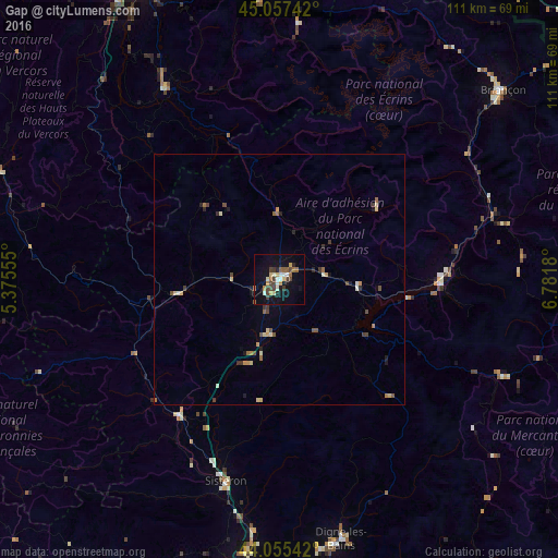
Analysis of Gap night lights 2016
Square area 10x10 km:
 1.82%
1.82%90-99
3.94%80-89
2.42%70-79
2.88%60-69
2.73%50-59
2.58%40-49
6.06%30-39
2.42%20-29
1.82%10-19
22.27%0-9
51.06%Square area 50x50 km:
0.07%90-99
0.34%80-89
0.36%70-79
0.32%60-69
0.29%50-59
0.38%40-49
0.51%30-39
0.36%20-29
0.27%10-19
1.2%0-9
95.92%Clear (daylight) street map image can be seen on geolist.org.
Map coordinates:
45° 3' 26.7" North, 5° 22' 32" East
44° 33' 30.9" North, 6° 4' 43.2" East
44° 3' 19.5" North, 6° 46' 54.5" East
Some cities around Gap sort by population:
• Digne-les-Bains
53.2 km =33.1 mi,  166°
166°
• Briançon
58.5 km =36.4 mi,  49°
49°
• Vizille
62.7 km =39 mi,  337°
337°
• Sisteron
42.3 km =26.3 mi,  194°
194°
• Embrun
33 km =20.5 mi,  88°
88°
• Vif
64 km =39.8 mi,  329°
329°
• Allières-et-Risset
67.9 km =42.2 mi, 332°
• La Mure
44.5 km =27.7 mi, 329°
3016702 (p: 42,715)
Sources (retrieved 2019-11-25):
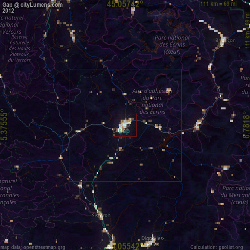
» Earth at Night: Flat Maps 2012, 2016