Dieppe night lights from space
Night Light of Dieppe (Normandy) from space (France) Src. Average luminocity for 10x10km area is 27.6737% and for 50x50km: 3.0584%.
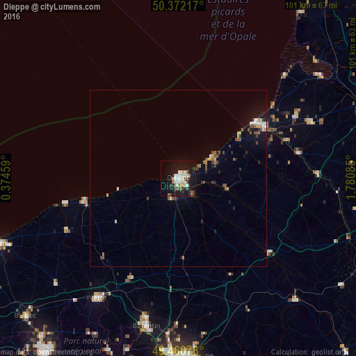
Analysis of Dieppe night lights 2016
Square area 10x10 km:
 5.46%
5.46%90-99
6.72%80-89
1.54%70-79
1.68%60-69
2.8%50-59
2.66%40-49
3.78%30-39
1.96%20-29
4.34%10-19
37.54%0-9
31.51%Square area 50x50 km:
0.41%90-99
0.5%80-89
0.2%70-79
0.26%60-69
0.31%50-59
0.55%40-49
0.46%30-39
0.28%20-29
0.57%10-19
2.91%0-9
93.56%Clear (daylight) street map image can be seen on geolist.org.
Map coordinates:
50° 22' 19.8" North, 0° 22' 28.5" East
49° 55' 17.8" North, 1° 4' 39.8" East
49° 28' 0.4" North, 1° 46' 51.1" East
Some cities around Dieppe sort by population:
• Barentin
42.8 km =26.6 mi,  191°
191°
• Yvetot
40.9 km =25.4 mi,  214°
214°
• Eu
28.2 km =17.5 mi,  60°
60°
• Pavilly
40.4 km =25.1 mi, 192°
• Le Tréport
26.3 km =16.3 mi,  54°
54°
• Malaunay
43.9 km =27.3 mi,  183°
183°
• Neufchâtel-en-Bray
33.4 km =20.8 mi,  128°
128°
• Saint-Valery-en-Caux
25.4 km =15.8 mi,  256°
256°
3021411 (p: 35,707)
Sources (retrieved 2019-11-25):
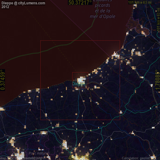
» Earth at Night: Flat Maps 2012, 2016