Châteaubriant night lights from space
Night Light of Châteaubriant (Pays de la Loire) from space (France) Src. Average luminocity for 10x10km area is 11.3214% and for 50x50km: 1.1164%.
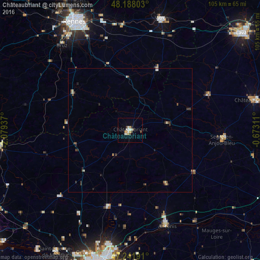
Analysis of Châteaubriant night lights 2016
Square area 10x10 km:
 0.89%
0.89%90-99
3.87%80-89
1.04%70-79
1.93%60-69
0%50-59
0%40-49
2.98%30-39
0.6%20-29
0%10-19
1.04%0-9
87.65%Square area 50x50 km:
0.06%90-99
0.29%80-89
0.11%70-79
0.1%60-69
0.05%50-59
0.2%40-49
0.23%30-39
0.33%20-29
0.16%10-19
0.15%0-9
98.34%Clear (daylight) street map image can be seen on geolist.org.
Map coordinates:
48° 11' 16.9" North, 2° 4' 45.7" West
47° 43' 1.6" North, 1° 22' 34.5" West
47° 14' 30.9" North, 0° 40' 23.2" West
Some cities around Châteaubriant sort by population:
• Blain
39.4 km =24.5 mi,  227°
227°
• Vern-sur-Seiche
40.1 km =24.9 mi,  335°
335°
• Segré
37.9 km =23.5 mi,  95°
95°
• Nort-sur-Erdre
32.3 km =20.1 mi,  196°
196°
• Châtillon-sur-Seiche
41.6 km =25.8 mi,  328°
328°
• Bain-de-Bretagne
27 km =16.8 mi,  301°
301°
• Janzé
28.4 km =17.6 mi, 341°
• Craon
35 km =21.7 mi,  65°
65°
3026303 (p: 13,024)
Sources (retrieved 2019-11-25):
» Earth at Night: Flat Maps 2012, 2016