Conflans-Sainte-Honorine night lights from space
Night Light of Conflans-Sainte-Honorine (Île-de-France) from space (France) Src. Average luminocity for 10x10km area is 84.9494% and for 50x50km: 50.2539%.
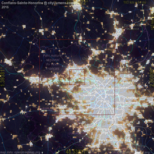
Analysis of Conflans-Sainte-Honorine night lights 2016
Square area 10x10 km:
 28.27%
90-99
26.49%80-89
11.76%70-79
12.2%60-69
8.78%50-59
5.65%40-49
6.85%30-39
0%20-29
0%10-19
0%0-9
0%Square area 50x50 km:
20.74%90-99
10.65%80-89
3.94%70-79
3.91%60-69
4.26%50-59
3.81%40-49
4.95%30-39
4.26%20-29
8.02%10-19
13.28%0-9
22.18%Clear (daylight) street map image can be seen on geolist.org.
Map coordinates:
49° 27' 38.6" North, 1° 23' 37.7" East
49° 0' 5.7" North, 2° 5' 49" East
48° 32' 17.4" North, 2° 48' 0.2" East
Some cities around Conflans-Sainte-Honorine sort by population:
• Cergy-Pontoise
4.4 km =2.7 mi,  341°
341°
• Cergy
4.2 km =2.6 mi, 338°
• Saint-Ouen-l’Aumône
5 km =3.1 mi,  20°
20°
• Achères
4.9 km =3 mi,  204°
204°
• Jouy-le-Moutier
4.3 km =2.7 mi,  283°
283°
• Éragny
1.7 km =1.1 mi,  7°
7°
• Andrésy
3.6 km =2.2 mi,  233°
233°
• Pierrelaye
4.7 km =2.9 mi,  62°
62°
3023924 (p: 36,358)
Sources (retrieved 2019-11-25):
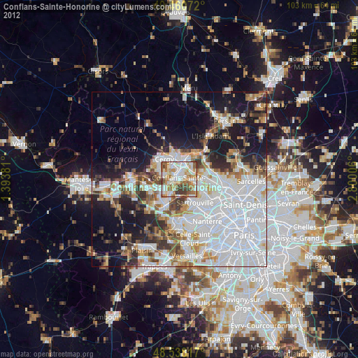
» Earth at Night: Flat Maps 2012, 2016