Revin night lights from space
Night Light of Revin (Grand Est) from space (France) Src. Average luminocity for 10x10km area is 4.1709% and for 50x50km: 4.5587%.
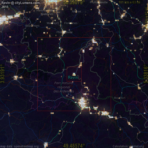
Analysis of Revin night lights 2016
Square area 10x10 km:
 0.28%
0.28%90-99
0.56%80-89
1.12%70-79
1.26%60-69
0.14%50-59
0%40-49
0.56%30-39
0%20-29
0%10-19
0.56%0-9
95.52%Square area 50x50 km:
0.69%90-99
0.82%80-89
0.42%70-79
0.31%60-69
0.59%50-59
0.41%40-49
0.67%30-39
0.67%20-29
1.08%10-19
2.97%0-9
91.37%Clear (daylight) street map image can be seen on geolist.org.
Map coordinates:
50° 23' 26.8" North, 3° 55' 54.9" East
49° 56' 25.4" North, 4° 38' 6.1" East
49° 29' 8.7" North, 5° 20' 17.4" East
Some cities around Revin sort by population:
• Charleville-Mézières
20.2 km =12.6 mi,  161°
161°
• Couvin, BE
16 km =9.9 mi,  321°
321°
• Chimay, BE
25.7 km =16 mi,  297°
297°
• Beauraing, BE
29.7 km =18.5 mi,  50°
50°
• Philippeville, BE
29.2 km =18.1 mi,  347°
347°
• Givet
25.8 km =16 mi,  31°
31°
• Nouzonville
16.2 km =10.1 mi,  150°
150°
• Hastière-Lavaux, BE
33.7 km =20.9 mi,  23°
23°
2983806 (p: 7,960)
Sources (retrieved 2019-11-25):
» Earth at Night: Flat Maps 2012, 2016