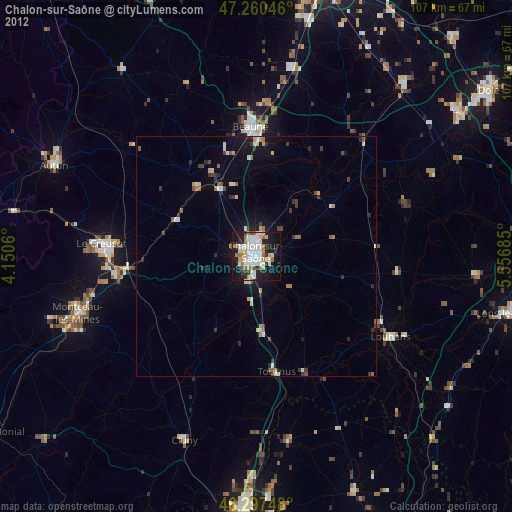
Chalon-sur-Saône night lights from space
Night Light of Chalon-sur-Saône (Bourgogne-Franche-Comté) from space (France) Src. Average luminocity for 10x10km area is 38.2902% and for 50x50km: 3.1421%.
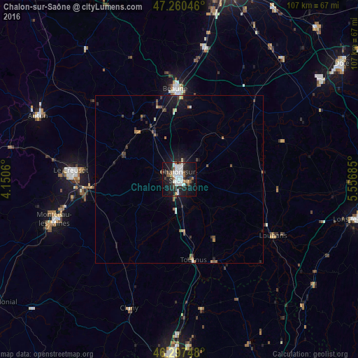
Analysis of Chalon-sur-Saône night lights 2016
Square area 10x10 km:
 11.9%
11.9%90-99
9.52%80-89
0.3%70-79
1.19%60-69
3.13%50-59
5.21%40-49
2.68%30-39
4.02%20-29
11.9%10-19
31.99%0-9
18.15%Square area 50x50 km:
0.53%90-99
0.46%80-89
0.21%70-79
0.16%60-69
0.39%50-59
0.46%40-49
0.34%30-39
0.54%20-29
0.82%10-19
2.89%0-9
93.2%Clear (daylight) street map image can be seen on geolist.org.
Map coordinates:
47° 15' 37.7" North, 4° 9' 2.2" East
46° 46' 52" North, 4° 51' 13.4" East
46° 17' 50.9" North, 5° 33' 24.7" East
Some cities around Chalon-sur-Saône sort by population:
• Saint-Leu
27.5 km =17.1 mi,  258°
258°
• Beaune
27 km =16.8 mi,  357°
357°
• Louhans
33.1 km =20.6 mi,  121°
121°
• Tournus
24.1 km =15 mi,  170°
170°
• Châtenoy-le-Royal
3.7 km =2.3 mi,  300°
300°
• Saint-Rémy
2.3 km =1.4 mi,  209°
209°
• Chagny
16.2 km =10.1 mi,  331°
331°
• Montchanin
29.4 km =18.3 mi, 263°
3027484 (p: 47,251)
Sources (retrieved 2019-11-25):
» Earth at Night: Flat Maps 2012, 2016