Saint-Leu night lights from space
Night Light of Saint-Leu (Bourgogne-Franche-Comté) from space (France) Src. Average luminocity for 10x10km area is 11.2024% and for 50x50km: 3.4293%.
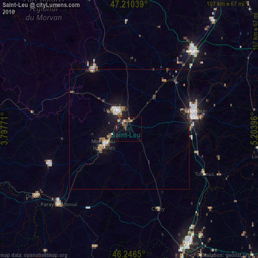
Analysis of Saint-Leu night lights 2016
Square area 10x10 km:
 0%
0%90-99
1.34%80-89
0.89%70-79
1.64%60-69
0.6%50-59
4.02%40-49
2.23%30-39
2.38%20-29
3.13%10-19
9.23%0-9
74.55%Square area 50x50 km:
0.27%90-99
0.41%80-89
0.22%70-79
0.4%60-69
0.46%50-59
0.63%40-49
0.47%30-39
0.51%20-29
0.69%10-19
3.57%0-9
92.38%Clear (daylight) street map image can be seen on geolist.org.
Map coordinates:
47° 12' 37.4" North, 3° 47' 51.8" East
46° 43' 50.2" North, 4° 30' 3" East
46° 14' 47.4" North, 5° 12' 14.3" East
Some cities around Saint-Leu sort by population:
• Chalon-sur-Saône
27.5 km =17.1 mi,  78°
78°
• Le Creusot
10.7 km =6.6 mi,  322°
322°
• Montceau-les-Mines
12.5 km =7.8 mi,  235°
235°
• Autun
28.9 km =18 mi,  327°
327°
• Blanzy
9.2 km =5.7 mi,  248°
248°
• Châtenoy-le-Royal
24.8 km =15.4 mi,  72°
72°
• Chagny
27.6 km =17.1 mi,  43°
43°
• Montchanin
3.1 km =1.9 mi,  312°
312°
2978771 (p: 29,278)
Sources (retrieved 2019-11-25):
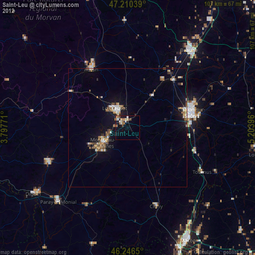
» Earth at Night: Flat Maps 2012, 2016