Beaune night lights from space
Night Light of Beaune (Bourgogne-Franche-Comté) from space (France) Src. Average luminocity for 10x10km area is 25.8849% and for 50x50km: 3.6736%.
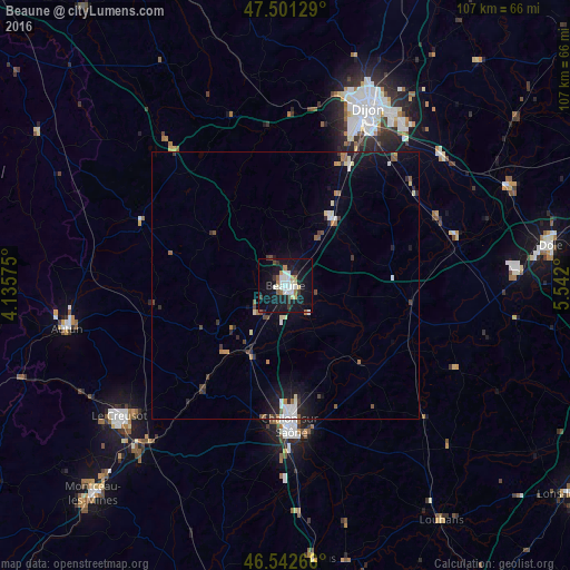
Analysis of Beaune night lights 2016
Square area 10x10 km:
 5.4%
5.4%90-99
5.68%80-89
2.27%70-79
1.14%60-69
2.7%50-59
1.7%40-49
1.14%30-39
3.98%20-29
2.7%10-19
37.64%0-9
35.65%Square area 50x50 km:
0.55%90-99
0.58%80-89
0.31%70-79
0.24%60-69
0.42%50-59
0.45%40-49
0.36%30-39
0.57%20-29
0.71%10-19
3.37%0-9
92.45%Clear (daylight) street map image can be seen on geolist.org.
Map coordinates:
47° 30' 4.6" North, 4° 8' 8.7" East
47° 1' 26.9" North, 4° 50' 19.9" East
46° 32' 33.6" North, 5° 32' 31.2" East
Some cities around Beaune sort by population:
• Chalon-sur-Saône
27 km =16.8 mi,  177°
177°
• Chenôve
32.4 km =20.1 mi,  22°
22°
• Longvic
33.9 km =21.1 mi,  30°
30°
• Châtenoy-le-Royal
25.2 km =15.7 mi, 184°
• Saint-Rémy
29 km =18 mi, 179°
• Chagny
14.3 km =8.9 mi,  207°
207°
• Nuits-Saint-Georges
15.1 km =9.4 mi, 33°
• Marsannay-la-Côte
29.7 km =18.5 mi, 22°
3034126 (p: 24,162)
Sources (retrieved 2019-11-25):
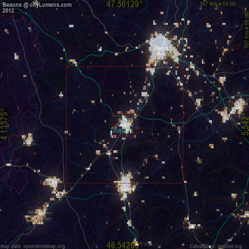
» Earth at Night: Flat Maps 2012, 2016