Kemi night lights from space
Night Light of Kemi (Lapland) from space (Finland) Src. Average luminocity for 10x10km area is 32.4963% and for 50x50km: 4.4327%.
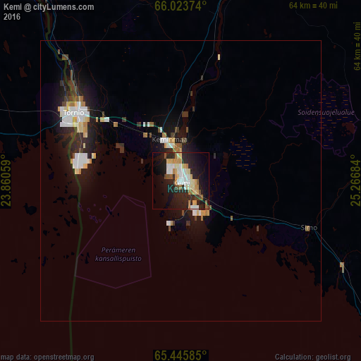
Analysis of Kemi night lights 2016
Square area 10x10 km:
 4.3%
4.3%90-99
7.51%80-89
5.13%70-79
4.3%60-69
4.03%50-59
2.11%40-49
2.01%30-39
0.82%20-29
15.38%10-19
25.92%0-9
28.48%Square area 50x50 km:
0.74%90-99
0.88%80-89
0.48%70-79
0.42%60-69
0.48%50-59
0.25%40-49
0.42%30-39
0.65%20-29
1.5%10-19
3.77%0-9
90.42%Clear (daylight) street map image can be seen on geolist.org.
Map coordinates:
66° 1' 25.5" North, 23° 51' 38.1" East
65° 44' 11.1" North, 24° 33' 49.4" East
65° 26' 45.1" North, 25° 16' 0.6" East
Some cities around Kemi sort by population:
• Tornio
22.7 km =14.1 mi,  303°
303°
• Haukipudas
72.1 km =44.8 mi,  149°
149°
• Kiiminki
88.2 km =54.8 mi,  139°
139°
• Keminmaa
7.3 km =4.5 mi,  353°
353°
• Kalix, SE
65.4 km =40.6 mi,  281°
281°
• Haparanda, SE
22.4 km =13.9 mi, 299°
• Ii
59.7 km =37.1 mi, 141°
• Ylitornio
75.2 km =46.7 mi,  327°
327°
653281 (p: 22,641)
Sources (retrieved 2019-11-25):
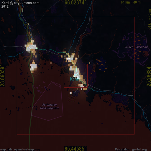
» Earth at Night: Flat Maps 2012, 2016