Tornio night lights from space
Night Light of Tornio (Lapland) from space (Finland) Src. Average luminocity for 10x10km area is 33.3977% and for 50x50km: 4.4514%.

Analysis of Tornio night lights 2016
Square area 10x10 km:
 7.52%
7.52%90-99
7.87%80-89
4.02%70-79
2.36%60-69
3.41%50-59
0.79%40-49
3.32%30-39
5.51%20-29
10.66%10-19
23.86%0-9
30.68%Square area 50x50 km:
0.75%90-99
0.87%80-89
0.48%70-79
0.42%60-69
0.48%50-59
0.21%40-49
0.46%30-39
0.66%20-29
1.5%10-19
3.84%0-9
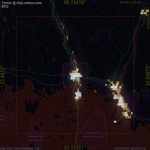
90.33%Clear (daylight) street map image can be seen on geolist.org.
Map coordinates:
66° 8' 3.1" North, 23° 26' 36.6" East
65° 50' 53.2" North, 24° 8' 47.8" East
65° 33' 31.7" North, 24° 50' 59.1" East
Some cities around Tornio sort by population:
• Luleå, SE
95.7 km =59.5 mi,  252°
252°
• Kemi
22.7 km =14.1 mi,  123°
123°
• Haukipudas
93.1 km =57.8 mi,  143°
143°
• Keminmaa
18.9 km =11.7 mi,  105°
105°
• Kalix, SE
45 km =28 mi,  270°
270°
• Haparanda, SE
1.5 km =0.9 mi,  197°
197°
• Ii
81.6 km =50.7 mi, 136°
• Ylitornio
55.4 km =34.4 mi,  337°
337°
634093 (p: 21,236)
Sources (retrieved 2019-11-25):
» Earth at Night: Flat Maps 2012, 2016