Raisio night lights from space
Night Light of Raisio (Southwest Finland) from space (Finland) Src. Average luminocity for 10x10km area is 72.4525% and for 50x50km: 12.4391%.
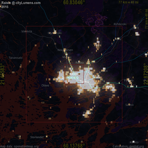
Analysis of Raisio night lights 2016
Square area 10x10 km:
 28.41%
90-99
24.9%80-89
4.13%70-79
2.17%60-69
5.48%50-59
3.31%40-49
3%30-39
10.64%20-29
16.01%10-19
1.96%0-9
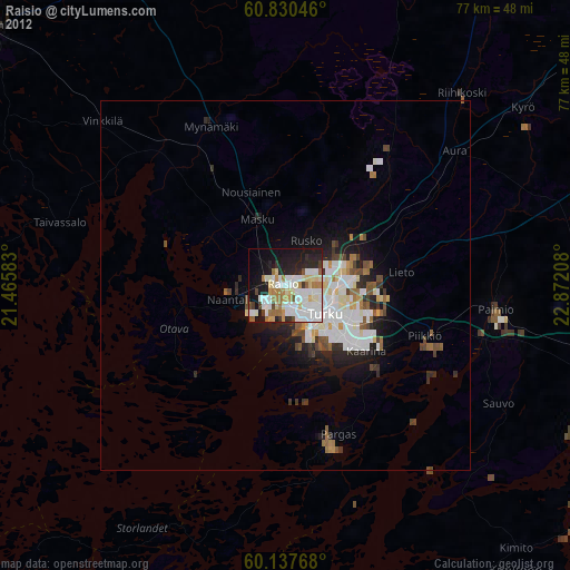
0%Square area 50x50 km:
3.22%90-99
2.79%80-89
0.87%70-79
1.04%60-69
1.24%50-59
1.08%40-49
1.27%30-39
1.74%20-29
3.06%10-19
6.73%0-9
76.97%Clear (daylight) street map image can be seen on geolist.org.
Map coordinates:
60° 49' 49.7" North, 21° 27' 57" East
60° 29' 9.3" North, 22° 10' 8.2" East
60° 8' 15.6" North, 22° 52' 19.5" East
Some cities around Raisio sort by population:
• Turku
6.7 km =4.2 mi,  125°
125°
• Kaarina
14 km =8.7 mi, 128°
• Väståboland
21.9 km =13.6 mi,  160°
160°
• Lieto
16.3 km =10.1 mi,  80°
80°
• Naantali
8.2 km =5.1 mi,  255°
255°
• Pargas
21.2 km =13.2 mi, 160°
• Piikkiö
20.2 km =12.6 mi,  109°
109°
• Masku
10.2 km =6.3 mi,  337°
337°
640124 (p: 23,597)
Sources (retrieved 2019-11-25):
» Earth at Night: Flat Maps 2012, 2016