Suonenjoki night lights from space
Night Light of Suonenjoki (Northern Savonia) from space (Finland) Src. Average luminocity for 10x10km area is 23.8778% and for 50x50km: 3.2582%.
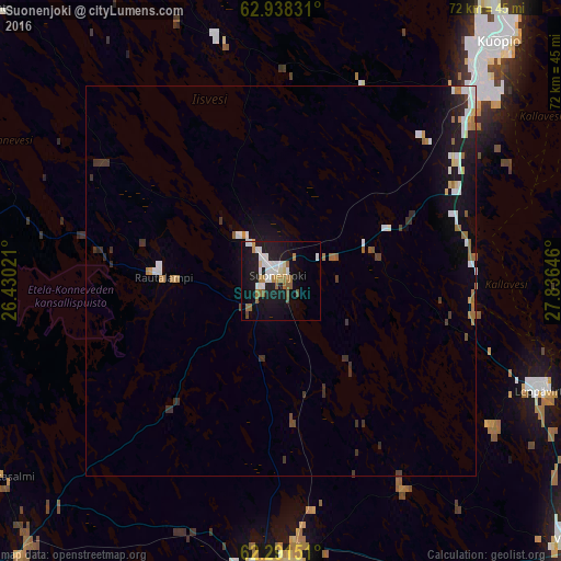
Analysis of Suonenjoki night lights 2016
Square area 10x10 km:
 4.35%
4.35%90-99
5.9%80-89
1.35%70-79
1.97%60-69
4.14%50-59
3.21%40-49
1.24%30-39
0%20-29
2.28%10-19
28.47%0-9
47.1%Square area 50x50 km:
0.54%90-99
0.65%80-89
0.19%70-79
0.23%60-69
0.6%50-59
0.27%40-49
0.2%30-39
0.57%20-29
0.48%10-19
2.8%0-9
93.47%Clear (daylight) street map image can be seen on geolist.org.
Map coordinates:
62° 56' 17.9" North, 26° 25' 48.8" East
62° 37' 0" North, 27° 7' 60" East
62° 17' 29.4" North, 27° 50' 11.3" East
Some cities around Suonenjoki sort by population:
• Kuopio
41.3 km =25.7 mi,  42°
42°
• Varkaus
50.7 km =31.5 mi,  131°
131°
• Siilinjärvi
58.5 km =36.4 mi,  27°
27°
• Laukaa
64.7 km =40.2 mi,  249°
249°
• Pieksämäki
35.2 km =21.9 mi,  180°
180°
• Leppävirta
36.1 km =22.4 mi,  112°
112°
• Joroinen
60.6 km =37.7 mi,  143°
143°
• Hankasalmi
44.3 km =27.5 mi,  234°
234°
635692 (p: 7,568)
Sources (retrieved 2019-11-25):
» Earth at Night: Flat Maps 2012, 2016