Varkaus night lights from space
Night Light of Varkaus (Northern Savonia) from space (Finland) Src. Average luminocity for 10x10km area is 50.8634% and for 50x50km: 5.5098%.
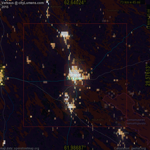
Analysis of Varkaus night lights 2016
Square area 10x10 km:
 11.28%
90-99
15.53%80-89
8.39%70-79
9.01%60-69
0.1%50-59
0%40-49
1.04%30-39
4.35%20-29
21.43%10-19
22.05%0-9
6.83%Square area 50x50 km:
0.68%90-99
0.96%80-89
0.52%70-79
0.85%60-69
0.9%50-59
0.42%40-49
0.38%30-39
0.49%20-29
1.45%10-19
5.53%0-9
87.81%Clear (daylight) street map image can be seen on geolist.org.
Map coordinates:
62° 38' 24.9" North, 27° 10' 11.6" East
62° 18' 55.2" North, 27° 52' 22.8" East
61° 59' 12.7" North, 28° 34' 34.1" East
Some cities around Varkaus sort by population:
• Kuopio
64.9 km =40.3 mi,  351°
351°
• Savonlinna
72.1 km =44.8 mi,  133°
133°
• Pieksämäki
38.3 km =23.8 mi,  267°
267°
• Leppävirta
20 km =12.4 mi, 346°
• Suonenjoki
50.7 km =31.5 mi,  311°
311°
• Juva
46.2 km =28.7 mi,  181°
181°
• Kangasniemi
73 km =45.4 mi,  240°
240°
• Joroinen
15.4 km =9.6 mi,  187°
187°
632370 (p: 22,365)
Sources (retrieved 2019-11-25):
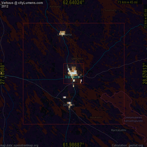
» Earth at Night: Flat Maps 2012, 2016